Kodiak Region
Afognak Island State Park
Facilities
★ 124,804 Acres
★ 4 Cabins
Useful Information
Afognak Island State Park and Afognak Island State Recreation Area Map
Alaska Mapper – State Parks and Trails
Activities
★ Hunting
★ Fishing
★ Camping
★ Wildlife Viewing
★ Hiking Trails
★ Biking Trails
★ Canoe/Kayaking
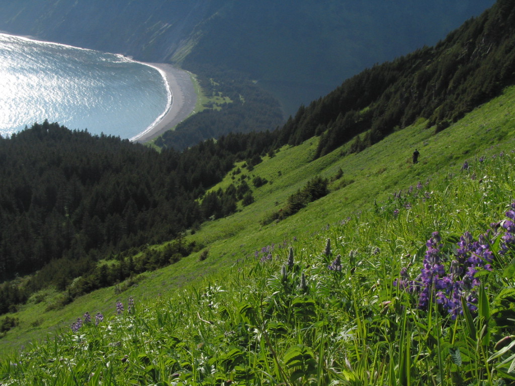
Afognak Island is known for its rugged topography, dense old-growth Sitka spruce forests, and salmon spawning habitat. Kodiak brown bear, Sitka black-tailed deer, Roosevelt elk, and the endangered marbled murrelet inhabit the park. State Park lands on Afognak Island now incorporate much of the east and north sides of the island, totaling about 125,000 acres. Hunting, fishing, hiking, wildlife viewing, kayaking, packrafting, and camping are popular activities. Logging roads inside the park boundaries are closed to public use of motorized vehicles, but are open for hiking or biking.
There are three Public-Use Cabins in the park. Two Public-Use Cabins are restored U.S. Forest Service cabins. One of these on the south shore of Pillar Lake and the other is at Laura Lake. The third Public-Use Cabin is a large two story cabin at the head of Discoverer Bay.
Popular freshwater access points by float plane to park lands on Afognak include: Thorsheim Lake, Waterfall Lake, Portage Lake, and Pauls Lake, Laura Lake, and Pillar Lake among others.
Popular saltwater access points by either boat or float plane include King Cove, Tonki Bay, Seal Bay, Phoenix Bay, Paul's Bay, Discoverer Bay, Delphin Bay, Little Waterfall Bay, Big Waterfall Bay, Redfox Bay, and Paramanof Bay.
Check the Alaska Mapper - State Parks and Trails link on the right to see park boundaries.
Notice: Private (native corporation) lands adjacent to the park may require special permits to access. If you plan to enter these areas, check landowner requirements and policies.
Address:
25 Air Miles North of the City of Kodiak - No Road Access


