
Redlands II RRCS
Redlands II RRCS
10 land parcels are currently available for sale.

Parcel 498 - 1138
Acres: 12.2
No Road Access
Tract: C
Parcel 498 - 1139
Acres: 7.26
No Road Access
Tract: E
Parcel 498 - 1140
Acres: 6.47
No Road Access
Tract: F
Parcel 498 - 1141
Acres: 9.14
No Road Access
Tract: G
Parcel 498 - 1142
Acres: 6.48
No Road Access
Tract: H
Parcel 498 - 1143
Acres: 8.13
No Road Access
Tract: J
Parcel 498 - 1144
Acres: 6.39
No Road Access
Tract: K
Parcel 498 - 1145
Acres: 6.7
No Road Access
Tract: L
Parcel 498 - 1146
Acres: 6.33
No Road Access
Tract: O
Parcel 498 - 1147
Acres: 5.88
No Road Access
Tract: Q
Location
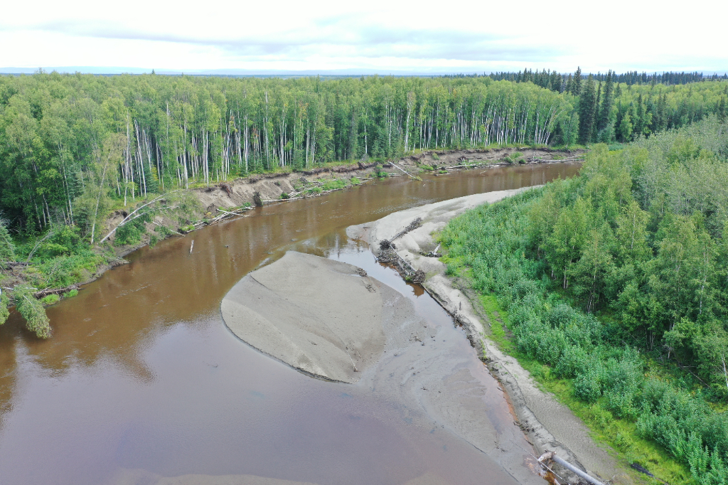
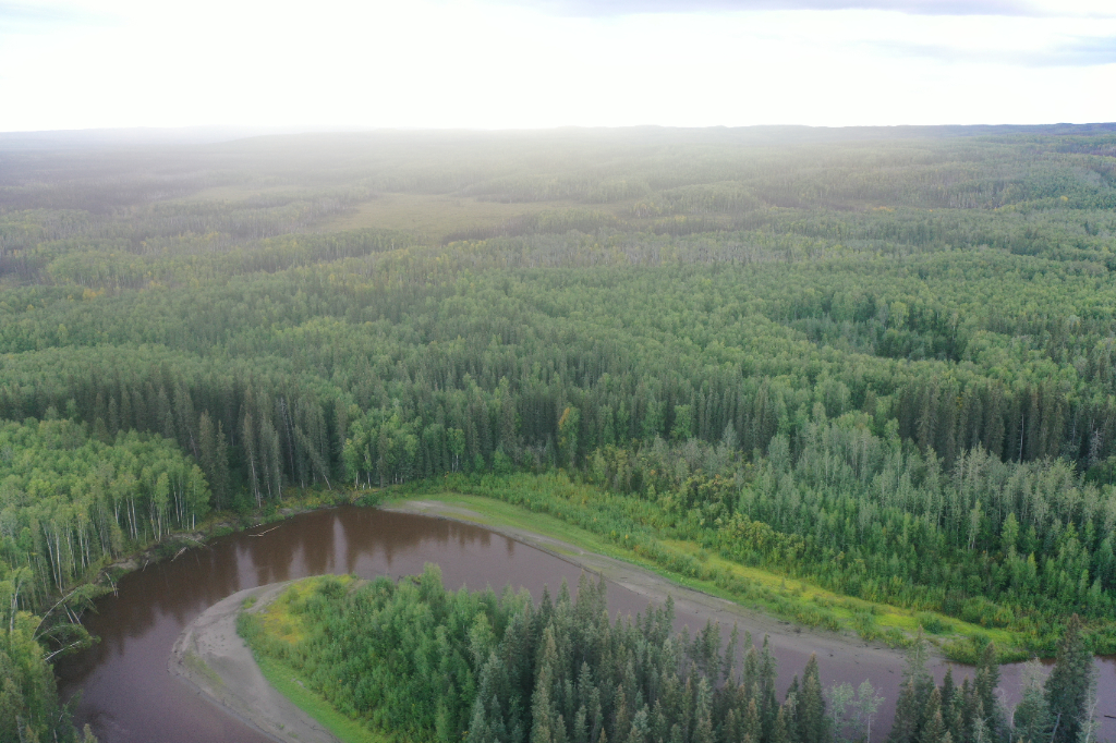
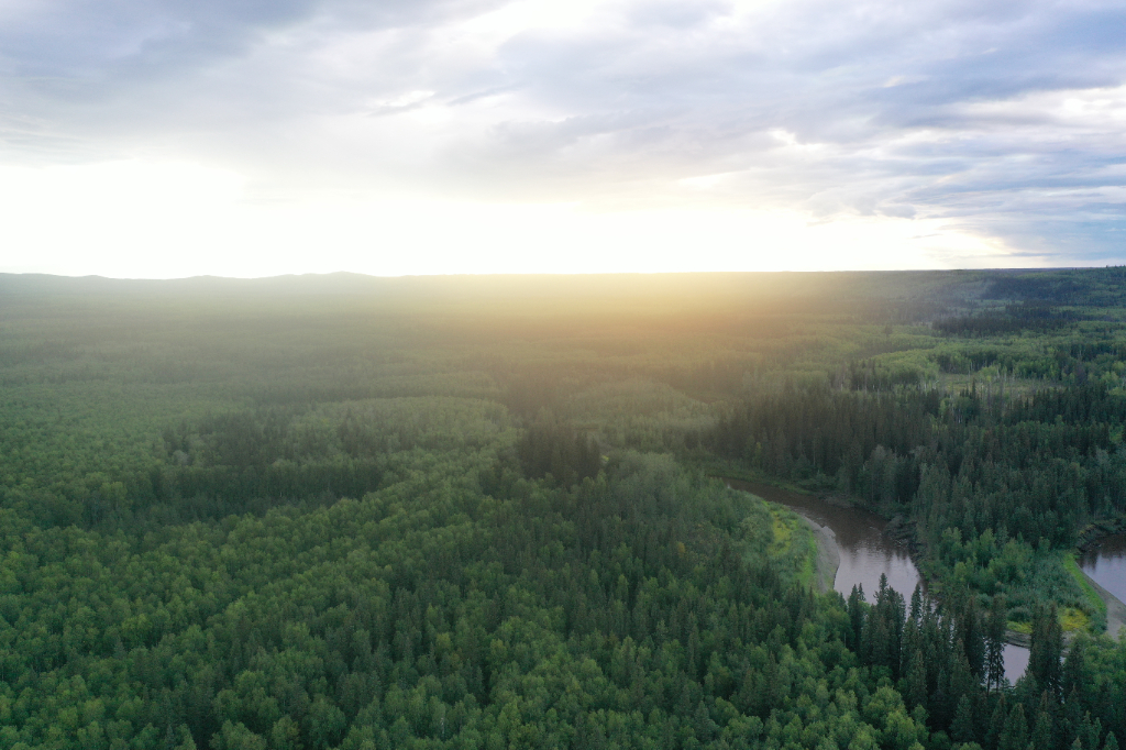
Redlands II RRCS is located along the Chitanana River, approximately 40 river miles west of Manley Hot Springs.
Access Details
Access is by boat or snowmachine from Manley Hot Springs along the Tanana River to the Chitanana River. The parcels are along the Chitanana River, approximately 3-11 miles from the confluence of the Tanana and the Chitanana.
Utilities
There is no municipal water supply or sewer system. Please see plat notes and the Sewer and Water section of this brochure for details. There are no utilities (electric, phone, internet, etc.) currently in this area.
Local Government
This area is not within the boundaries of an organized borough. It is located within the Unorganized Borough and is subject to the State of Alaska platting authority.
Fire
This area is along the boundary of a Modified and a Limited Fire Management Option. See the Wildland Fires and Burn Permits section of this brochure for details. Parcels on the south side of the Chintanana are in the Limited option, while parcels on the north side of the river are primarily within the Modified option.
Notes
These parcels may contain wetlands. Purchasers must obtain permits from the U.S. Army Corps of Engineers before developing any wetland areas.
A boat with a shallow draft may be needed to access these parcels, especially in times of low water. The river generally becomes more shallow further upstream.
Restrictions
Easements affecting these parcels, as depicted on the plat, may include, but are not limited to, public access and utility easements. Information on restrictions, easements, reservations, and setbacks may be depicted on the plat, contained in the plat notes, or recorded separately. All parcels have a 100ft building setback from the ordinary high water mark of public waterbodies, a 50ft public access easement along the ordinary high water mark, and a 30ft public access and
utility easement along interior lot lines. Parcels 1138, 1143, & 1145, have a 100ft section line easement through the lots. Please see plat for details.
Survey and Appraisal
Redlands is survey ASLS 2022-08, located in Sections 14, 15, 16, 20, 21, 22, & 23 Township 1 North, Range 20 West, Fairbanks Meridian. The survey has been recorded as Plat 2024-01 in the Manley Hot Springs Recording District.