
Birklund
Birklund
2 land parcels are currently available for sale.

Parcel 498 - 1015
Acres: 1.58
Road Access
Lot: 2
Block: 1
Parcel 498 - 1016
Acres: 1.51
Road Access
Lot: 9
Block: 2
Location
Birklund is located approximately 5 miles west of downtown Wasilla, 1.5 miles south of Parks Hwy, just east of Vine Rd.
Access Details
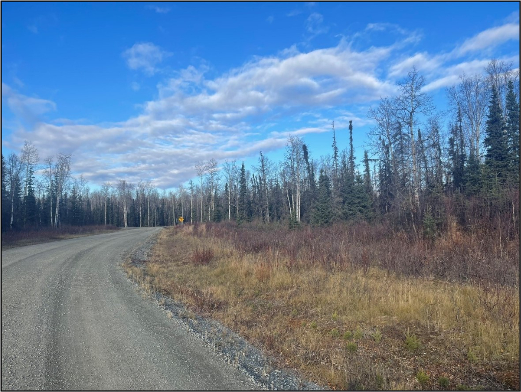
Birklund has developed gravel road access. From the Parks Hwy, travel south on Vine Rd for approximately 1.5 miles. Turn east onto W Jess Ave and then south onto S Fian Dr to enter the subdivision.
Utilities
Overhead electricity is located on Vine Rd. Purchasers will be responsible for extending the existing power lines at their own expense. There is no municipal water supply or sewer system. Please see plat notes and the Sewer and Water section of this brochure for details.
Local Government
This area is within the boundaries of the Matanuska-Susitna Borough and is subject to applicable platting authority, local ordinances, and property assessments. Local ordinances may impose setbacks, easements, or restrictions in addition to those mentioned under Restrictions. Please check with the borough for more details. The subdivision is outside of the Wasilla city limits. There is currently no zoning for the subdivision.
Fire
This area is in the Critical Fire Management Option. See the Wildland Fires and Burn Permits section of this brochure for details.
Notes
These parcels are being sold as-is. Both parcels were previously under a purchase contract with DNR. In 2024, Parcel 1016 underwent clean-up efforts to remove extensive trash and debris that was left on the property. As with all parcels, DNR recommends prospective bidders personally inspect all parcels before placing a bid.
These parcels may contain wetlands. Purchasers must obtain permits from the U.S. Army Corps of Engineers before developing any wetland areas.
Restrictions
Easements affecting these parcels, as depicted on the plat, may include, but are not limited to, utility easements. Information on restrictions, easements, reservations, and setbacks may be depicted on the plat, contained in the plat notes, or recorded separately.
Both parcels have 15 ft utility easements along rights-of-way and a 70 ft triangular utility easement in the north (Parcel 1016) and northwest (Parcel 1015) corners of the lots (see Plat Note 6). There is a 10 x 20 ft guy anchor easement on the west side of the Parcel 1016. There is a 30 ft public use easement along the north lot line of Parcel 1015. Please see plat for details.
Survey and Appraisal
Birklund Alaska Subdivision is survey ASLS 2009-17, located in Section 14, Township 17 North, Range 2 West, Seward Meridian. The survey has been recorded as Plat 2012-7 in the Palmer Recording District.
Right-of-way Status
All roads within the subdivision, S. Fian Dr, S. River Cir, and S. Cade Cir, are developed gravel roads.