
Kantishna II RRCS
Kantishna II RRCS
5 land parcels are currently available for sale.

Parcel 498 - 1148
Acres: 13.47
No Road Access
Tract: J
Parcel 498 - 1149
Acres: 10.62
No Road Access
Tract: I
Parcel 498 - 1150
Acres: 6.55
No Road Access
Tract: H
Parcel 498 - 1151
Acres: 19
No Road Access
Tract: F
Parcel 498 - 1152
Acres: 19.04
No Road Access
Tract: E
Location
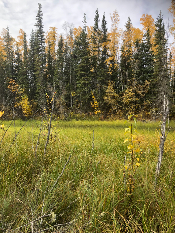
Kantishna II RRCS is located approximately 70 air miles west of Fairbanks, and 32 air miles west of Nenana (110 river miles). The parcels are located along the Kantishna River, approximately 30 river miles south of the confluence of the Kantishna and Tanana Rivers.
Access Details
Primary access to the area is by float plane or boat from the Tanana River to the Kantishna River. Snowmachine access from Nenana is also possible.
Utilities
There is no municipal water supply or sewer system. Please see plat notes and the Sewer and Water section of this brochure for details. There are no utilities (electric, phone, internet, etc.) currently in this area.
Local Government
This area is not within the boundaries of an organized borough. It is located within the Unorganized Borough and is subject to the State of Alaska platting authority.
Fire
This area is in the Full Fire Management Option. See the Wildland Fires and Burn Permits section of this brochure for details.
Notes
These parcels may contain wetlands. Purchasers must obtain permits from the U.S. Army Corps of Engineers before developing any wetland areas.
Restrictions
Easements affecting these parcels, as depicted on the plat, may include, but are not limited to, public access and utility easements. Information on restrictions, easements, reservations, and setbacks may be depicted on the plat, contained in the plat notes, or recorded separately. All parcels have a 100ft building setback from the ordinary high water mark of public waterbodies, and a 30ft public access and utility easement along interior lot lines. Parcel 1150 has a 50ft public
access easement and 100ft building setback from the unnamed lake. Parcels 1151 and 1152 have a 100ft section line easement. See plat for details.
Survey and Appraisal
Kantishna II RRCS is survey ASLS 2022-07, located in Sections 28, 32, & 33, Township 4 South, Range 13 West, Fairbanks Meridian. The survey has been recorded as Plat 2024-71 in the Fairbanks Recording District.