Parcel Detail
Attention - Residency Requirements
Only Alaska residents may submit bids in the Sealed-Bid Auction.

Parcel 496 - 1175
Acres: 3.682
No Road Access
Lot: 15
Block: 7
Case File
Veteran Discount
The State of Alaska offers qualified Alaska resident veterans a once-in-a-lifetime discount on the purchase of state land.
Estimated Veteran Price: $8,786.57
This veteran's price is based on the minimum bid. When placing your bid, you will be bidding a non-discounted price. The actual discounted price based on your bid will be calculated using the method detailed in the brochure, if you qualify for the program and win the parcel.
Location
Martin Subdivision is located approximately 25 miles northwest of Fairbanks, on the south side of Old Murphy Dome Rd.
Meridian Township Range Section (MTRS): F001N003W05
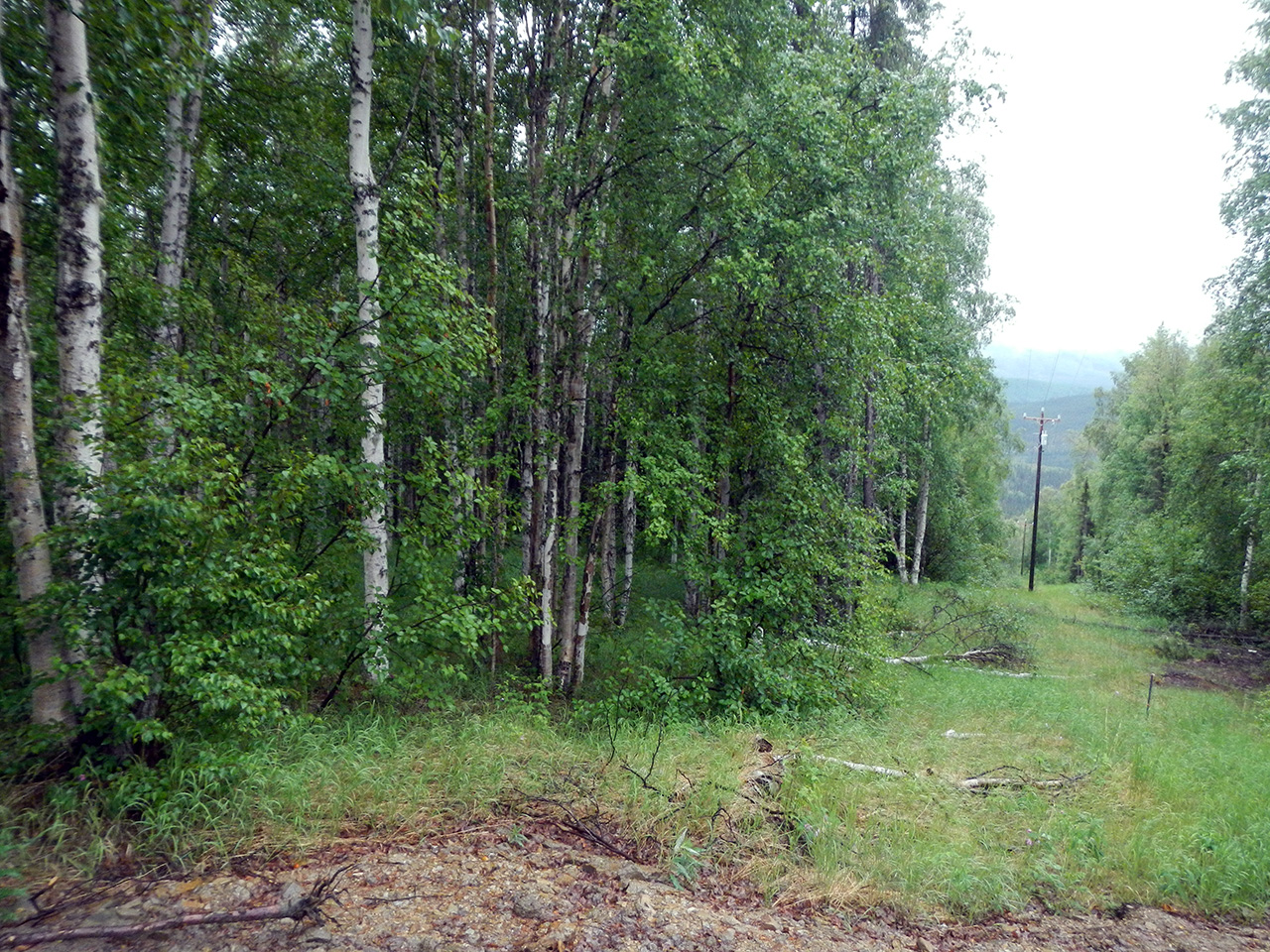
Access Details
The parcels are accessed via ATV trails. Enter the subdivision via Murphy Dome Rd at High Sierra Dr, which deteriorates into an ATV trail. Parcels are accessed through a series of undeveloped rights-of-way.
Utilities
There is no municipal water supply or sewer system. Please see plat notes and the Sewer and Water section of this brochure for details. There are no utilities (electric, phone, internet, etc.) currently in this area.
Local Government
This area is within the boundary of the Fairbanks North Star Borough and is subject to applicable platting authority, local ordinances, and property assessments. Local ordinances may impose setbacks, easements, or restrictions in addition to those mentioned under Restrictions below. Please check with the borough for details.
These parcels are zoned Rural Estate (RE-4) by the Fairbanks North Star Borough. Please contact the borough for details.
Fire
This area is in a Critical Fire Management Option. See the Wildland Fires and Burn Permits section of this brochure for details.
Notes
These parcels may contain wetlands. Purchasers must obtain permits from the U.S. Army Corps of Engineers before developing any wetland areas.
Restrictions
Easements affecting these parcels, as depicted on the plat, may include, but are not limited to, utility and public access easements. Information on restrictions, easements, reservations, and setbacks may be depicted on the plat, contained in the plat notes, or be recorded separately. All parcels have a 30ft utility easement along platted rights-of-way and a 15ft utility easement along common interior lot lines.
Survey and Appraisal
Martin is survey ASLS 84-21, located in Sections 5 & 6, Township 1 North, Range 3 West, and Section 31 & 32, Township 2 North, Range 3 West, Fairbanks Meridian. The survey has been filed as plat 84-275 in the Fairbanks Recording District. Also see associated easement vacation plat EV-2- 306 filed as Plat No. 84-274.
Right-of-way Status
High Sierra Dr is partially developed. Other rights-of-way within the subdivision are partially developed trails, or undeveloped.
Parcel Maps
View parcel with
Alaska Mapper Tool
Alaska Mapper User's Guide