
Mystery Alaska, Phase I
Mystery Alaska, Phase I
Mystery Subdivision features residential lots close to the Parks Highway and Wasilla. Many of the parcels are on high ground and have good views of the surrounding mountains and valleys.
0 land parcels are currently available for sale.
Why Buy
Mystery Subdivision features residential lots close to the Parks Highway and Wasilla. Many of the parcels are on high ground and have good views of the surrounding mountains and valleys.
Location
Mystery Phase I is located approximately 10 miles northwest of downtown Wasilla, 0.5 miles south of the Parks Hwy., off of Johnson Rd.
Access Details
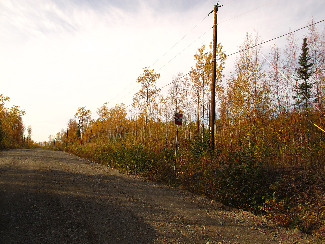
Road access from Parks Hwy, south on Johnsons Rd, west on W. Pinckney Dr., and south on S. Holly Hill Cir.
Utilities
Natural gas and electrical service run alone W. Pinckney Dr. but do not extend down S. Holly Hill Circle to the parcel. Prospective purchasers may need to extend lines at their own expense. There is no municipal water supply or sewer system. Please see plat notes and the “Sewer and Water” section of this brochure for details.
Local Government
This area is within the boundaries of the Matanuska-Susitna Borough and is subject to applicable platting authority, local ordinances, and property assessments. Local ordinances may impose setbacks, easements, or restrictions in addition to those mentioned under “Restrictions.” Please check with the Borough for more details. This parcel is outside of the Wasilla city limits. There is currently no zoning for the subdivision.
Fire
This area is in the Critical Fire Management Option. See the “Wildland Fires and Burn Permits” section of this brochure for details.
Restrictions
Easements affecting these parcels, as depicted on the plat, may include, but are not limited to, utility easements. Information on restrictions, easements, reservations, and setbacks may be depicted on the plat, contained in the plat notes, or be recorded separately.
Survey and Appraisal
Mystery Alaska Subdivision Phase 1 is ASLS 2002-28, located in Section 18, Township 17 North, Range 2 West, Seward Meridian. The survey has been recorded as Plat 2004-58 in the Palmer Recording District.
Right-of-way Status
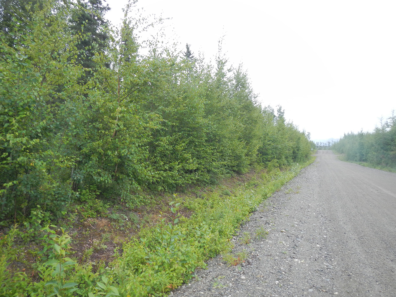
The rights-of-way within the subdivision are gravel roads.
Homeowner's Association
Any subsequent owner of parcels within this subdivision automatically becomes a member of the homeowner’s association, if active. The declaration of covenants, conditions, and restrictions for this association was recorded on April 9, 2004 in the Palmer Recording District.