
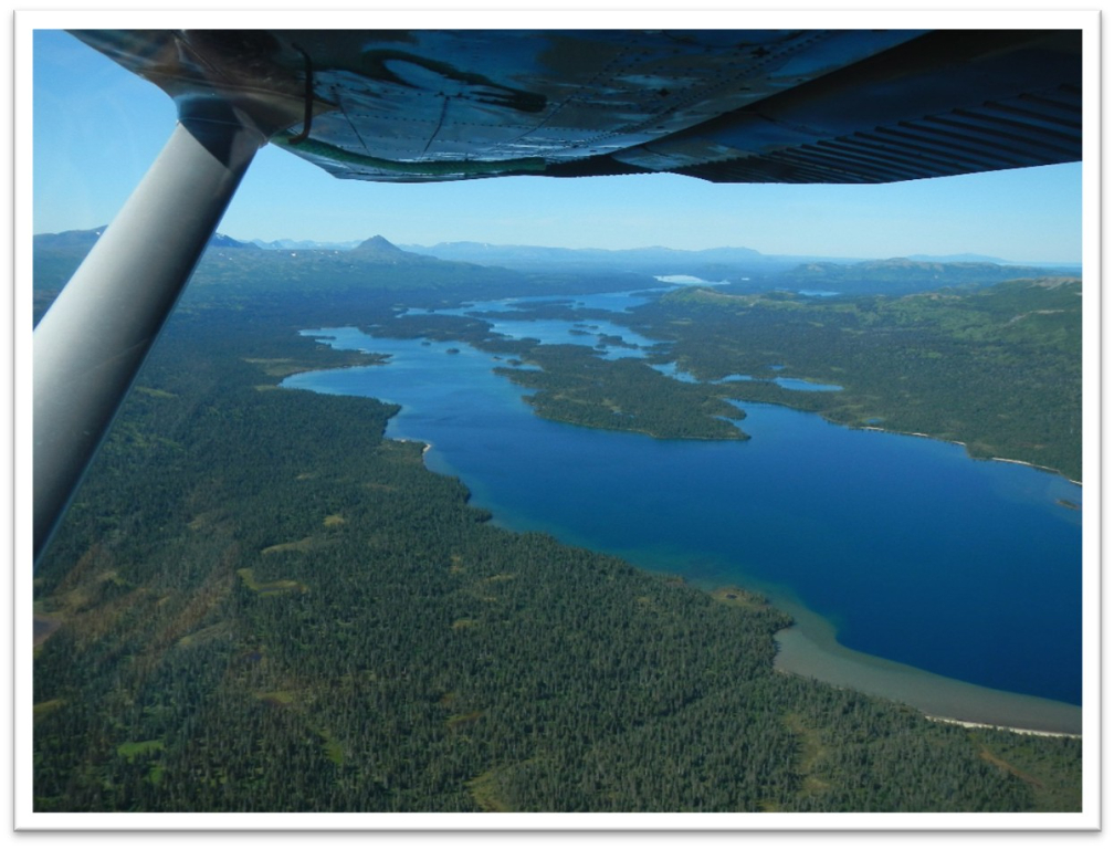
Kakhonak Lake RRCS
Kakhonak Lake RRCS
1 land parcel is currently available for sale.

Parcel 498 - 1059
Acres: 9.879
No Road Access
Tract: D
Location
Kakhonak Lake RRCS is located approximately 30 miles southwest of Iliamna and 90 miles west of Homer, on the Alaska Peninsula.
Access Details
Access is by floatplane to Kakhonak Lake. There is no practical overland access to this parcel.
Utilities
There is no municipal water supply or sewer system. Please see plat notes and the “Sewer and Water” section of this brochure for details. There are no utilities (electric, phone, internet, etc.) currently in this area.
Local Government
This area is within the boundary of the Kenai Peninsula Borough and is subject to applicable platting authority, local ordinances and property assessments. Local ordinances may impose setbacks, easements, or restrictions in addition to those mentioned under Restrictions. Please check with the borough for details of current ordinances.
Fire
This area is in the Full Fire Management Option. See the Wildland Fires and Burn Permits section of this brochure for details.
Notes
This parcel may contain wetlands. Purchasers must obtain permits from the U.S. Army Corps of Engineers before developing any wetland areas.
The ordinary high-water mark of Kakhonak Lake forms the true bounds of the east lot line of the parcel.
Misc/Other
Kakhonak Lake RRCS is located on Tentatively Approved land, please see the Tentatively Approved Lands section for details.
Restrictions
Easements affecting these parcels, as depicted on the plat, may include, but are not limited to, public access and utility easements. Information on restrictions, easements, reservations, and setbacks may be depicted on the plat, contained in the plat notes, or recorded separately. There is a 100 ft building setback from Kakhonak Lake, and a 30 to 50ft public access and utility easement along all lot lines. Please see plat for details.
Survey and Appraisal
Kakhonak Lake RRCS is survey ASLS 2013-16, located in Section 6, Township 8 South, Range 28 West, Seward Meridian. The survey has been recorded as plat 2015-3 in the Iliamna Recording District.