
Cascaden
Cascaden
4 land parcels are currently available for sale.

Parcel 498 - 1112
Acres: 5.038
Road Access
Lot: 2
Block: 3
Parcel 498 - 1113
Acres: 5.747
No Road Access
Lot: 9
Block: 3
Parcel 498 - 1114
Acres: 4.81
No Road Access
Lot: 3
Block: 2
Parcel 498 - 1115
Acres: 5.084
Road Access
Lot: 6
Block: 2
Location
Cascaden subdivision is located approximately seven miles southwest of Livengood on the north side of the Elliott Hwy, between mileposts 78 & 79.
Access Details
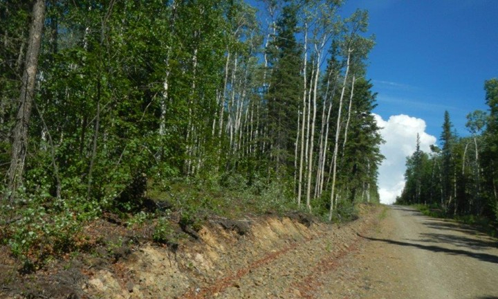
Access to Cascaden is from the Elliott Hwy (near milepost 79) to Long Tom Dr. Long Tom Dr is a dirt road which provides access to parcels 1112 & 1115. Parcels 1113 & 1114 have ATV access from Rocker Dr, a brushed ATV trail.
Utilities
There is no municipal water supply or sewer system. Please see plat notes and the Sewer and Water section of this brochure for details. There are no utilities (electric, phone, internet, etc.) currently in this area.
Local Government
This subdivision is not within the boundaries of an organized borough. It is located within the Unorganized Borough and is subject to the State of Alaska platting authority.
Fire
This area is in the Full Fire Management Option. See the Wildland Fires and Burn Permits section of this brochure for details.
Notes
These parcels may contain wetlands. Purchasers must obtain permits from the U.S. Army Corps of Engineers before developing any wetland areas.
Restrictions
Easements affecting these parcels, as depicted on the plat, may include, but are not limited to, utility easements. Information on restrictions, easements, reservations, and setbacks may be depicted on the plat, contained in the plat notes, or recorded separately.
Common interior lot lines have 10ft public utility easements. There is a 20ft utility easement adjacent to rights-of-way. Please see plat notes for additional utility easements. Parcel 1113 has a 10ft trail easement along the west lot line & Parcel 1114 has a 10ft trail easement along the east lot line. See survey plat or details.
Survey and Appraisal
Cascaden is survey ASLS 86-98, located in Section 9, Township 7 North, Range 6 West, Fairbanks Meridian. The survey has been recorded as Plat 87-20 in the Fairbanks Recording District.
Right-of-way Status
Long Tom Dr is a dirt road. Rocker Dr is an ATV trail. All rights-of-way in western half of the subdivision have been brushed. Other rights-of-way within the subdivision are undeveloped.