
Innoko River RRCS
Innoko River RRCS
0 land parcels are currently available for sale.
Location
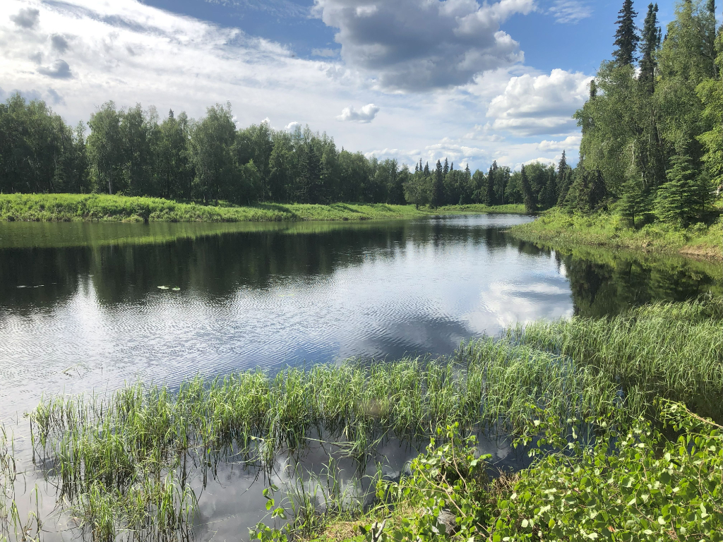
Innoko River II RRCS is located approximately 65 air miles northwest of McGrath, near the confluence of the Innoko River and the North Fork Innoko River.
Access Details
Primary access is float /ski plane to the rivers or area lakes. All parcels have direct access from Innoko River or the North Fork Innoko River.
Utilities
There is no municipal water supply or sewer system. Please see plat notes and the Sewer and Water section of this brochure for details. There are no utilities (electric, phone, internet, etc.) currently in this area.
Local Government
This area is not within the boundaries of an organized borough. It is located within the Unorganized Borough and is subject to the State of Alaska platting authority.
Fire
This area is in the Limited Fire Management Option. However, some previously surveyed parcels in the area have been moved into the Full Option. See the Wildland Fires and Burn Permits section of this brochure for details.
Notes
These parcels may contain wetlands. Purchasers must obtain permits from the U.S. Army Corps of Engineers before developing any wetland areas.
The Innoko National Wildlife Refuge abuts the southern boundary of the area, approximately 1.5 – 4 miles south of the parcels.
Restrictions
Easements affecting these parcels, as depicted on the plat, may include, but are not limited to, public access and utility easements. Information on restrictions, easements, reservations, and setbacks may be depicted on the plat, contained in the plat notes, or recorded separately. All parcels have a 100ft building setback from the ordinary high water mark of public waterbodies and a 30ft public access and utility easement along interior lot lines. Parcel 1114 (Tract I) has a 50ft public access easement that crosses a portion of the lot, along the shore of an unnamed lake. See plat for details.
Survey and Appraisal
Innoko River II RRCS is ASLS 2022-06, located in Sections 4, 7, & 18, Township 19 South, Range 12 East, and Section 26, Township 19 South, Range 11 East, Kateel River Meridian. The survey has been filed as Plat 2024-1 in the Mt. McKinley Recording District.