
Tok Triangle Phase III
Tok Triangle Phase III
0 land parcels are currently available for sale.
Location
Tok Triangle Phase III is located approximately 5 miles south of the Alaska Hwy. and three miles west of the Tok Cutoff Hwy.
Access Details
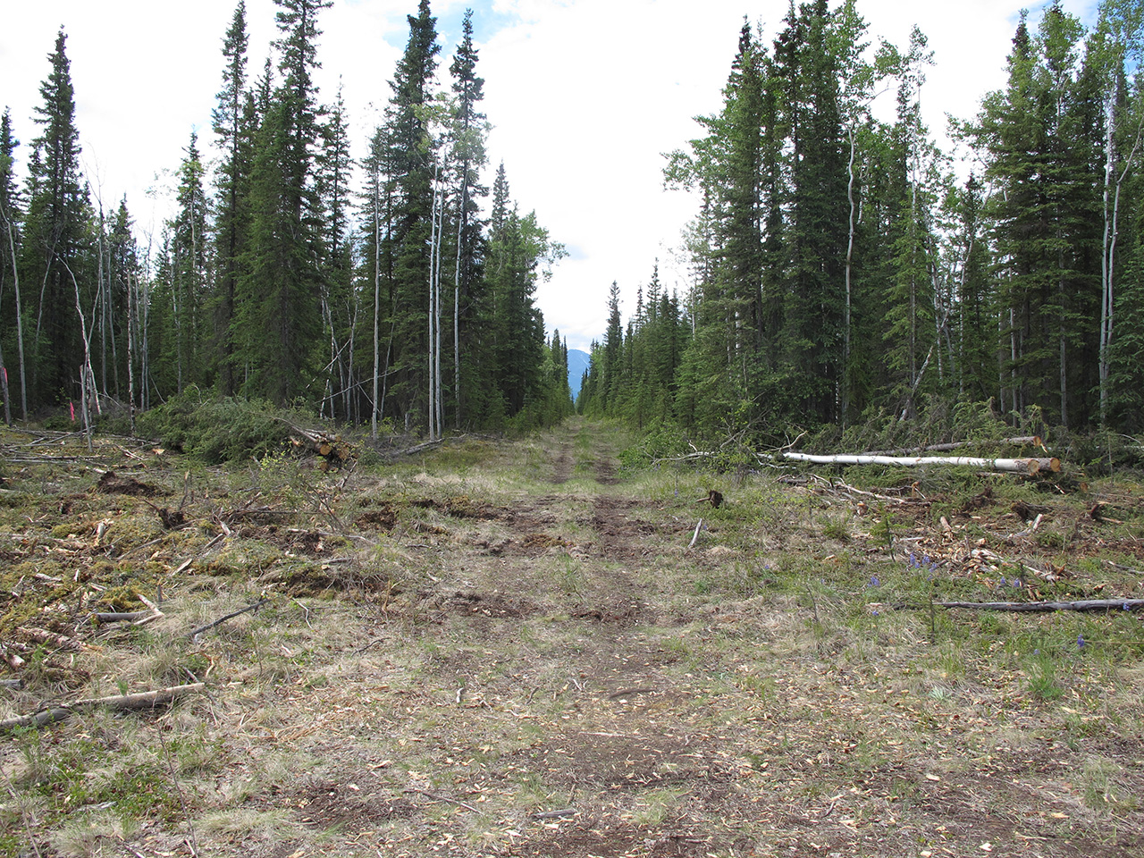
Road access from the Alaska Hwy., near mile 1315.5, south onto Scoby Way, west onto Mukluk Ave., and south onto Stephanie St.
Utilities
There is no municipal water supply or sewer system. Please see plat notes and the “Sewer and Water” section of this brochure for details. There are no utilities (electric, phone, internet, etc.) currently in this area.
Local Government
Tok Triangle III is located within the Unorganized Borough and subject to the State of Alaska platting authority.
Fire
This area is in the Critical Fire Management Option. See the “Wildland Fires and Burn Permits” section of this brochure for details.
Restrictions
Easements affecting these parcels, as depicted on the plat, may include, but are not limited to, utility easements. Information on restrictions, easements, reservations, and setbacks may be depicted on the plat, contained in the plat notes, or be recorded separately. This parcel has a 30-ft public utility easement along the east and south lots lines.
Survey and Appraisal
Tok Triangle III is survey ASLS 2008-41, located in Section 34, Township 18 North, Range 12 East, Copper River Meridian. The survey has been recorded as plat 2010-59 in the Fairbanks Recording District.
Right-of-way Status
Stephanie St. is developed to parcel 1208. Other rights-of-way are undeveloped.