
Nowitna River RRCS
Nowitna River RRCS
0 land parcels are currently available for sale.
Location
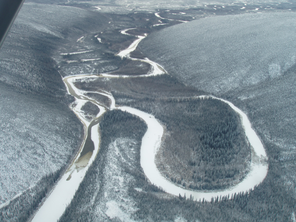
Nowitna River RRCS is located approximately 67 air miles northeast of McGrath.
Access Details
Primary access is by float/ski plane. Wheeled plane access may be possible to area gravel bars.
Utilities
There is no municipal water supply or sewer system. Please see plat notes and the “Sewer and Water” section of this brochure for details. There are no utilities (electric, phone, internet, etc.) currently in this area.
Local Government
Nowitna River RRCS is located within the Unorganized Borough and subject to the State of Alaska platting authority.
Fire
This area is in the Limited Fire Management Option. See the “Wildland Fires and Burn Permits” section of this brochure for details.
Notes
The ordinary high water line forms the true east and west boundaries of this parcel.
These parcels may contain wetlands. Purchasers must obtain permits from the U.S. Army Corps of Engineers before placing any dredged or fill material in wetlands.
Restrictions
Easements affecting these parcels, as depicted on the plat, may include, but are not limited to, public access easements. Information on restrictions, easements, reservations, and setbacks may be depicted on the plat, contained in the plat notes, or be recorded separately.
The parcel has a public access easement around interior lot lines. Please see plat for details. There is a 100-foot building setback from all navigable water bodies.
Survey and Appraisal
Nowitna River RRCS is ASLS 2007-10, located in Section 16, Township 19 South, Range 21 East, Kateel River Meridian. The survey has been recorded as Plat 2009-1 in the Nulato recording district.