
Nenana Ridge West
Nenana Ridge West
0 land parcels are currently available for sale.
Location
Nenana Ridge West is located approximately 20 miles northeast of Nenana and 32 miles southwest of Fairbanks, on the south side of the Parks Hwy. between mileposts 326 and 327.
Access Details
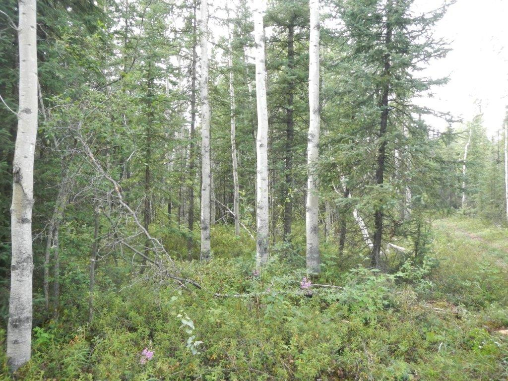
Access to the subdivision is from a pull-off on the south side of the Parks Hwy. near mile 326.5. The pull-off area is partially overgrown. Both parcels have frontage that meanders the boundary of the pull-off. There is a trail within the public access easement on Tract I that is accessible with 4-wheel drive vehicle. The public access easement is not brushed beyond that point.
Utilities
There is overhead electric service available. There is no municipal water or sewer system is available. Please see plat notes and the "Sewer and Water” section of this brochure for details.
Local Government
Nenana Ridge West is within the boundary of the Fairbanks North Star Borough and is subject to applicable platting authority, local ordinances and property assessments. Local ordinances may impose setbacks, easements, or restrictions in addition to those mentioned under “Restrictions” below. Please check with the borough for details of current ordinances.
Nenana Ridge West is zoned RA-40 by the Fairbanks North Star Borough. Use of these parcels is restricted by zoning. Please contact the borough for details.
Fire
This area is in the Full Fire Management Option. See the “Wildland Fires and Burn Permits” section of this brochure for details.
Notes
The majority of the terrain on the parcels slopes downhill, descending approximately 400-ft in elevation toward the south.
All new driveways and approaches onto a DOT&PF maintained right-of-way will require a permit prior to construction. Please contact DOT&PF for details.
Nenana Ridge West is located on Tentatively Approved land, please see the “Tentatively Approved Lands” section for details.
Restrictions
Easements affecting these parcels, as depicted on the plat, may include, but are not limited to, public access and utility easements. Information on restrictions, easements, reservations, and setbacks may be depicted on the plat, contained in the plat notes, or be recorded separately. There is a 60-foot public access easement from the parking area that follows the northern lot line of parcel 1156 and bisects the northern portion of parcel 1157. There is a 40-foot GVEA utility easement that crosses both parcels.
Survey and Appraisal
Nenana Ridge West is survey ASLS 2006-31, located in Section 29, Township 2 South, Range 5 West, Fairbanks Meridian. The survey has been recorded as plat 2011-69 in the Fairbanks Recording District and 2011-7 in the Nenana Recording District.
Right-of-way Status
The rights-of-way are a public access easement, which is partially developed.