
Crazy Mountain Homestead
Crazy Mountain Homestead
0 land parcels are currently available for sale.
Location
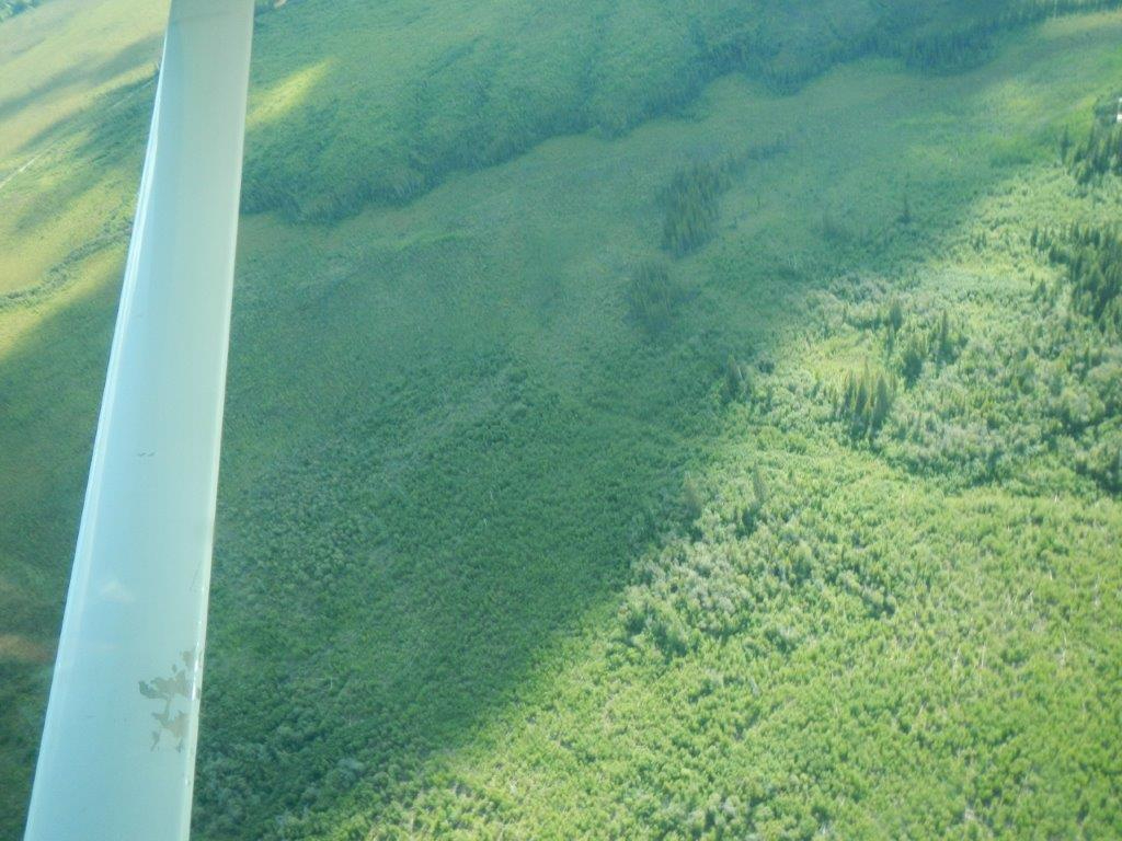
Crazy mountain is located northwest of the Steese Hwy., approximately 21 miles southwest of Circle.
Access Details
Access to the parcel is overland via developed and undeveloped easements. From the north side of Steese Hwy. near mile 138.5, a constructed dirt road travels north and then west along section line easements for about 1 mile. From the dirt road, the parcel is approximately 1000-ft to the south. The remaining 1000-ft is undeveloped, along platted public access easements. Alternatively, the parcel can be accessed overland across state land. The parcel is approximately 1,800-ft northwest of the Steese Hwy.
Utilities
There is no municipal water supply or sewer system. Please see plat notes and the “Sewer and Water” section of this brochure for details. There is overhead electrical service near the highway, however it has not been extended to the parcel.
Local Government
Crazy Mountain Homestead is located within the Unorganized Borough and subject to the State of Alaska platting authority.
Fire
This area is in the Full Fire Management Option. See the “Wildland Fires and Burn Permits” section of this brochure for details.
Restrictions
Easements affecting these parcels, as depicted on the plat, may include, but are not limited to, utility easements. Information on restrictions, easements, reservations, and setbacks may be depicted on the plat, contained in the plat notes, or be recorded separately.
Survey and Appraisal
Crazy Mountain Homestead is survey ASLS 89-114, located in Section 7, Township 9 North, Range 16 East, Fairbanks Meridian. The survey has been recorded as plat 91-106 in the Fairbanks Recording District.
Right-of-way Status
The rights-of-way are platted section line easements and public access easements. The public access easements to the parcel are undeveloped.