
Chignaki Pond Phase II
Chignaki Pond Phase II
Chignaki Pond features wooded lots just outside of Wasilla with easy access to the Parks Highway.
0 land parcels are currently available for sale.
Why Buy
Chignaki Pond features wooded lots just outside of Wasilla with easy access to the Parks Highway.
Location
Chignaki Pond Phase 2 is located approximately 4 miles northwest of Wasilla and 3.5 miles north of the Parks Hwy.
Access Details
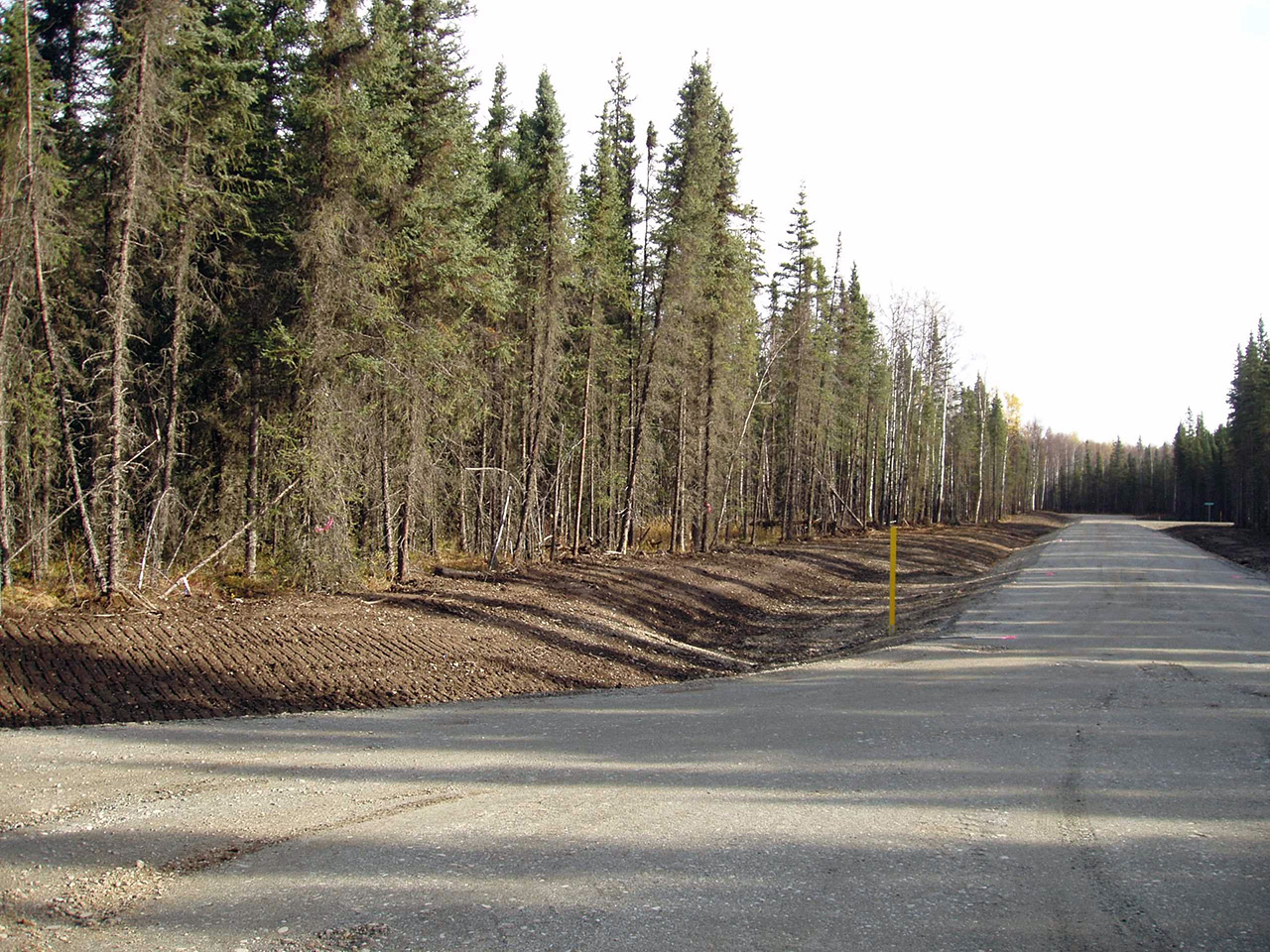
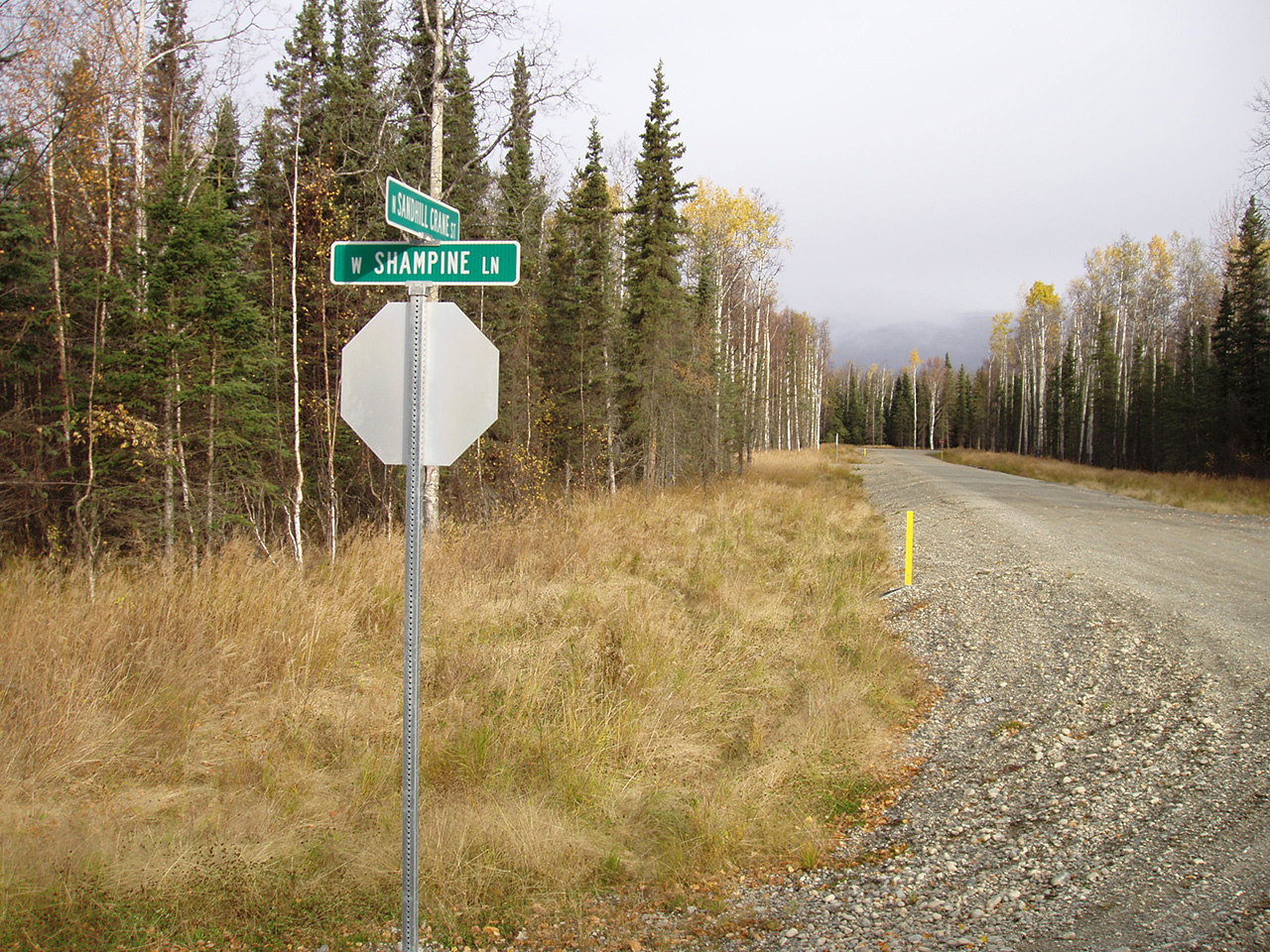
Road access from Parks Hwy., north on Church Rd., east on Schrock Rd., south on Infinite Rd., and west on Woodpecker Cir.
Utilities
There is no municipal water supply or sewer system. Please see the plat notes and the “Sewer and Water” section of this brochure for details. No part of a subsurface sewage disposal system shall be closer than 100-feet from any body of water or watercourse. Electrical service and natural gas lines run adjacent to parcel 1092. Electric and gas lines are approximately 650-feet from parcel 1091. Purchasers may need to extend lines at their own expense.
Local Government
This area is within the boundaries of the Matanuska-Susitna Borough and is subject to applicable platting authority, local ordinances, and property assessments. Local ordinances may impose setbacks, easements, or restrictions in addition to those mentioned under “Restrictions.” Please check with the Borough for more details. This subdivision is outside of the Wasilla city limits. There is currently no zoning for the subdivision.
Fire
This area is in the Critical Fire Management Option. See the “Wildland Fires and Burn Permits” section of this brochure for details.
Restrictions
Easements affecting these parcels, as depicted on the plat, may include, but are not limited to, utility easements. Information on restrictions, easements, reservations, and setbacks may be depicted on the plat, contained in the plat notes, or be recorded separately. There is a 15-foot utility easement along lot lines that are adjacent to rights-of-way.
Survey and Appraisal
Chignaki Pond Phase 2 is survey ASLS 2006-12, located in Section 20, Township 18 North, Range 1 West, Seward Meridian. The survey has been recorded as plat 2008-37 in the Palmer Recording District.
Right-of-way Status
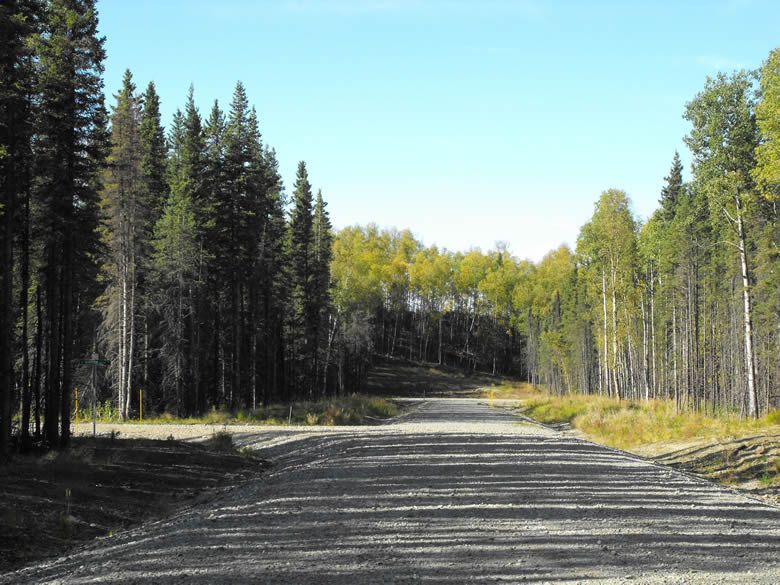
Rights-of-way within the subdivision are developed gravel roads.
Homeowner's Association
Any subsequent owner of any parcel within this subdivision automatically becomes a member of the homeowner’s association, if active. The declaration of covenants, conditions, and restrictions for this association was recorded on March 28, 2008 in the Palmer Recording District.