
Forest Knolls
Forest Knolls
0 land parcels are currently available for sale.
Location
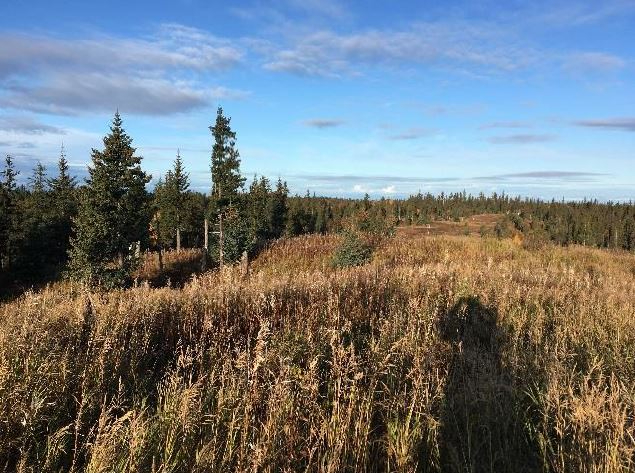
Forest Knolls is located approximately 7 miles southeast of Anchor Point and 9 miles northwest of Homer.
Access Details
The subdivision is located off the Old Sterling Hwy, approximately 7 miles south of Anchor Point. The interior roads are undeveloped and may be accessible by ATV or snowmachine. Developing road access to the boundary of the subdivision would consist of extending access approximately 600ft from a section line easement to the northwest corner of the subdivision or developing access approximately 1,500ft from Rollins Way to the northeast corner of the subdivision along Rosehip Dr (undeveloped). Both access points would likely cross small sections of wetlands.
Utilities
There is no municipal water supply or sewer system. Please see plat notes and the Sewer and Water section of this brochure for details. Electric and natural gas lines are located adjacent to the Old Sterling Hwy. Overhead electric lines also run along Rollins Way.
Local Government
The subdivision is within the Kenai Peninsula Borough and subject to the borough’s platting authority, local ordinances and property assessments. Local ordinances may impose setbacks, easements, or restrictions in addition to those mentioned under Restrictions. Please check with the borough for details. There is currently no zoning for the subdivision.
Fire
This area is in the Critical Fire Management Option. See the Wildland Fires and Burn Permits section of this brochure for details.
Notes
These parcels may contain wetlands. Purchasers must obtain permits from the U.S. Army Corps of Engineers before developing any wetland areas. Purchasers are encouraged to locate all structures at least 50ft from wetlands.
Improving any approach from the Old Sterling Hwy will require authorization from DOT&PF.
The Division of Agriculture noted good soil quality and the potential for agriculture. Interested parties can contact Homer Soil and Water Conservation District for more information.
Restrictions
Easements affecting these parcels, as depicted on the plat, may include, but are not limited to, utility easements. Information on restrictions, easements, reservations, and setbacks may be depicted on the plat, contained in the plat notes, or be recorded separately. Parcel 1082 has a 50ft section line easement across the northern point of the parcel. Parcel 1084 has a 25ft public pedestrian access easement along the west lot line. All parcels have a 20ft building setback and utility easement from platted rights-of-way.
Survey and Appraisal
Forest Knolls Subdivision is survey ASLS No. 2018-30, located in Section 30, Township 5 South, Range 14 West, Seward Meridian. The survey has been recorded as Plat 2021-35 in the Homer Recording District.
Right-of-way Status
Rights-of-Way within the subdivision are Tserof Rd and Fox Trot St, both of which are undeveloped.