
Pyrite
Pyrite
0 land parcels are currently available for sale.
Location
Pyrite Subdivision is located 3 miles NE of North Pole.
Access Details
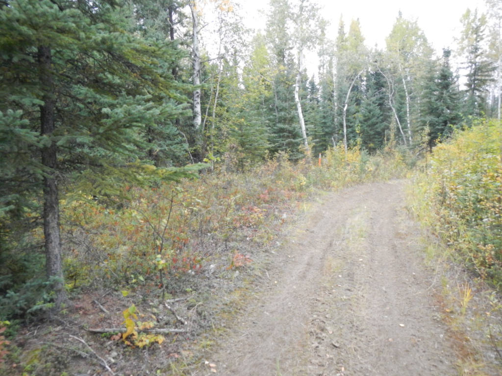
Access is provided by highway vehicle along the Richardson Hwy., to Badger Rd., then east on Plack Rd. Access to the individual lots is either along Pyrite Ct., which is a cleared gravel area, or Farmall Dr., which is a gravel road north of Plack Rd.
Utilities
These is no municipal water supply or sewer system. Please check the plat notes and the “Sewer and Water” section of this brochure for details. Electric service runs along the S and SW perimeter of the subdivision, and across Farmall Dr. on the east side. Parcels in this area are on individual well and septic. No individual water supply system or sewage disposal system shall be permitted on any lot unless such system is located, constructed, and equipped in accordance with the requirements of the Alaska Department of Environmental Conservation. Approval of such systems shall be obtained from said authority. The nearest Fairbanks North Star Borough (FNSB) transfer stations are in North Pole and off Badger Rd.
Local Government
This area is within the boundary of the Fairbanks North Star Borough and is subject to applicable platting authority, local ordinances, and property assessments. Local ordinances may impose setbacks, easement, or restrictions in addition to those mentioned under Restrictions. Please check with the borough for details of current ordinances.
Fire
This area is in the North Star Fire Service Area and is a Full Fire Management Option. See the “Fire and Burning Activities” section of the brochure for details.
Notes
- Parcels are zoned Rural Estate-4/Groundwater Damage Protection (GWP). Basements are not allowed to be constructed in the GWP overlay zone.
- This subdivision is located in a flood zone protected by a levee and is not required to meet the FNSB Title 15 Floodplain Management Regulations.
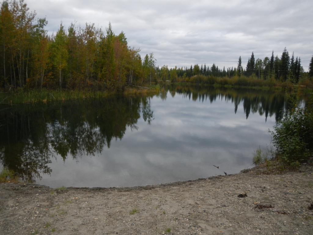
- There is some trash and debris on the lots near the pond. DNR is not responsible for the disposal of any existing garbage or wastes.
- Tract A is reserved in public ownership for use of the pond, including an area for parking.
Misc/Other
Lots 1, 2, 3, 4 and 8 contain apparent wetlands and ponds. A U.S. Army Corps of Engineers Wetland Permit may be required to develop any wetland areas.
Restrictions
Easements affecting these parcels, as depicted on the plat, may include, but are not limited to, public access and utility easements. Information on restrictions, easements, reservations, and setbacks may be depicted on the plat, contained in the plat notes, or be recorded separately.
Survey and Appraisal
Pyrite is survey ASLS 2018-19, located in Section 36, Township 1 South, Range 2 East, Fairbanks Meridian. The survey has been recorded as plat 2020-18 in the Fairbanks Recording District.
Right-of-way Status
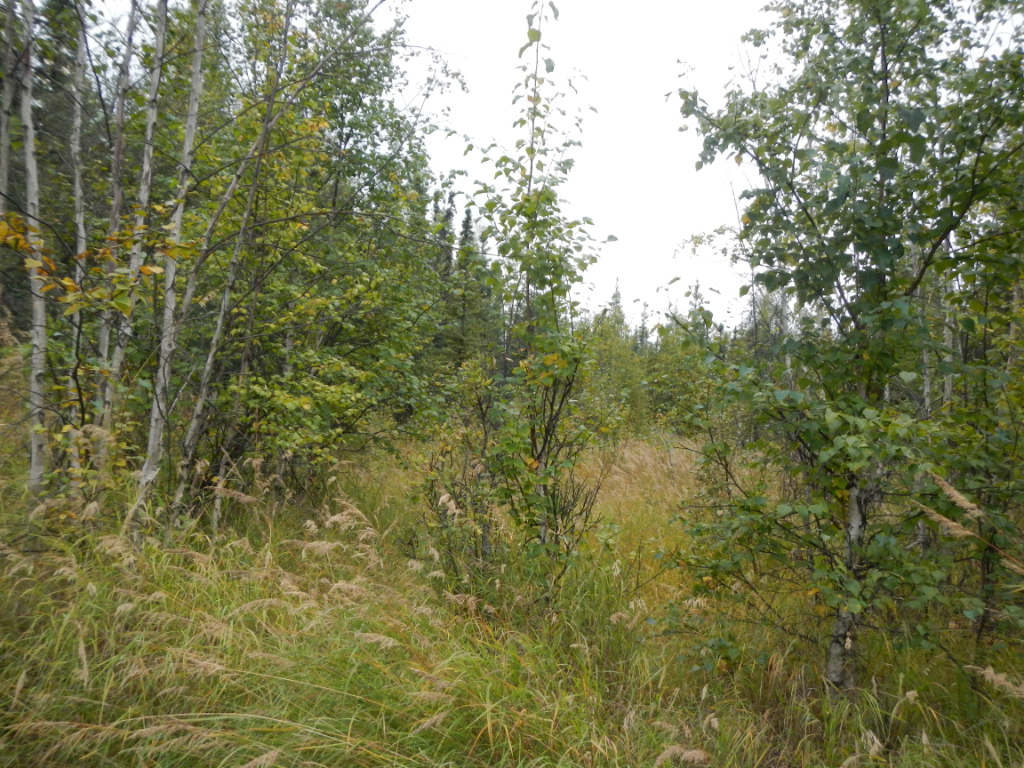
Pyrite Ct. is a pioneer road for most of the ROW; the northernmost portion is undeveloped. Farmall Dr. is developed to lot 3 and is a trail to lot 1. Legal access to lots 5 and 7 via Pyrite Ct. The roads in the subdivision to some of the parcels do not meet the FNSB's standards, which could compromise emergency service access.