
White Mountain II RRCS
White Mountain II RRCS
0 land parcels are currently available for sale.
Location
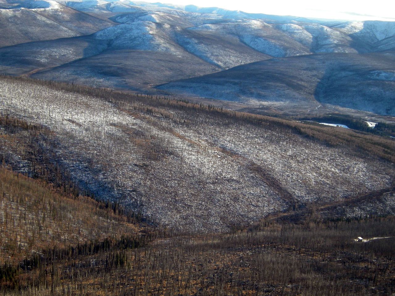
White Mountain II RRCS is located approximately 50 miles northeast of Fairbanks, north of the Steese Hwy.
Access Details
The parcels are accessed from the Steese Hwy, between mile posts 49 and 50. Access to the parcels is via ATV or walk-in. Parcel 1173 is approximately 1.5 miles north from Steese Hwy and is accessed from a trail that runs parallel to Moose Creek. Parcel 1174 is approximately 1.25 miles northeast of
the Steese Hwy and is accessed from another trail that runs within a public access easement (ADL 410504).
Utilities
There is no municipal water supply or sewer system. Please see plat notes and the Sewer and Water section of this brochure for details. There are no utilities (electric, phone, internet, etc.) currently in this area.
Local Government
This area is within the boundaries of the Fairbanks-North Star Borough and is subject to applicable platting authority, local ordinances, and property assessments. Local ordinances may impose setbacks, easements, or restrictions in addition to those mentioned under Restrictions. Please check with the borough for more details.
Fire
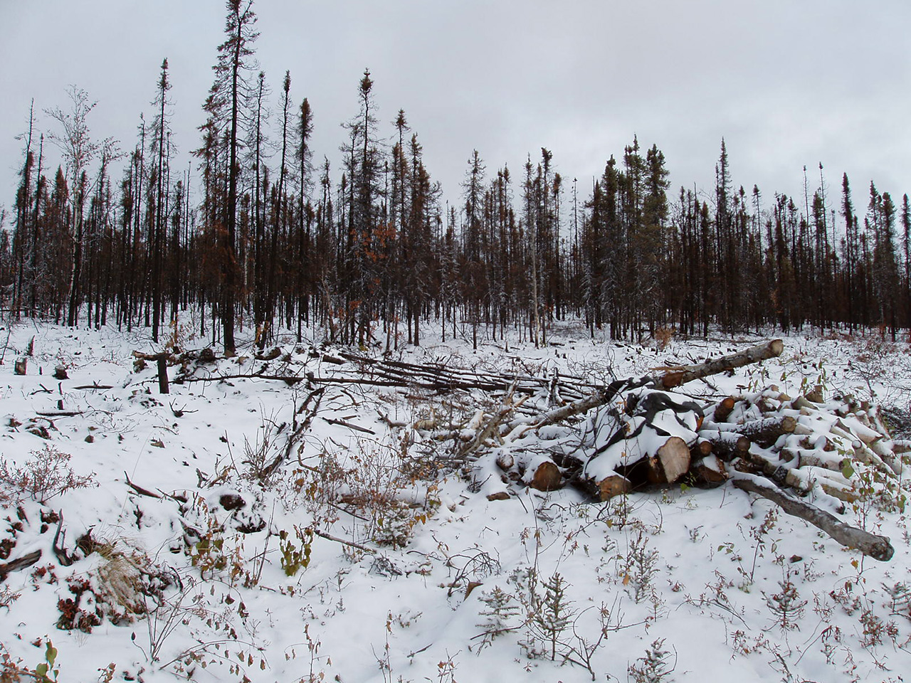
This area is in the Full Fire Management Option. See the Wildland Fires and Burn Permits section of this brochure for details.
Notes
These parcels are zoned as General Use (GU-1) by the Fairbanks-North Star Borough. Please contact the borough for details.
Accessing the parcels requires crossing the historic Davidson Ditch, which is just north of the Steese Hwy. Legal access across Davidson Ditch is restricted to platted rights-of-way and reserved easements.
These parcels may contain wetlands. Purchasers must obtain permits from the U.S. Army Corps of Engineers before developing any wetland areas.
Restrictions
Easements affecting these parcels, as depicted on the plat, may include, but are not limited to, utility, and section line easements. Information on restrictions, easements, reservations, and setbacks may be depicted on the plat, contained in the plat notes, or recorded separately. Parcel 1174 has a 100ft section line easement. Parcel 1173 has a 50ft public access easement and a 100ft building setback along its east lot line. Both parcels have a 30ft public access easement on all boundaries. See survey plat for details.
Survey and Appraisal
White Mountain II RRCS is ASLS 2011-18, located in Sections 21 & 22, Township 5 North, Range 4 East, Fairbanks Meridian. The survey has been filed as Plat 2013-94 in the Fairbanks Recording District.
Right-of-way Status
Rights-of-way to these parcels are trails, which run through dedicated public access easements.