Parcel Detail
Attention - Residency Requirements
Only Alaska residents may submit bids in the Sealed-Bid Auction.

Parcel 496 - 1047
Acres: 5
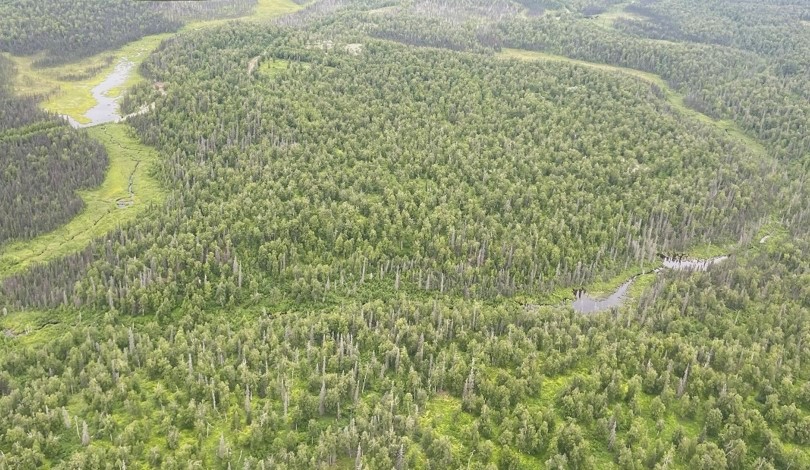
No Road Access
Lot: 16
Block: 8
Case File
Veteran Discount
The State of Alaska offers qualified Alaska resident veterans a once-in-a-lifetime discount on the purchase of state land.
Estimated Veteran Price: $9,667.50
This veteran's price is based on the minimum bid. When placing your bid, you will be bidding a non-discounted price. The actual discounted price based on your bid will be calculated using the method detailed in the brochure, if you qualify for the program and win the parcel.
Location
Bartlett Hills Subdivision encompasses a very large area. The parcels are located approximately 14 miles southeast of Talkeetna, and approximately 4 miles east of the Parks Hwy and Talkeetna Spur Rd interchange.
Meridian Township Range Section (MTRS): S024N004W25
Access Details
The subdivision contains a mix of developed and undeveloped roads. The route below can generally be accessed with a highway vehicle up to Kaliak Loop Rd, which is a partially developed trail. From the Talkeetna Spur Rd, head east on Yoder Rd, south on S. Southfork (E. Montana Creek Rd on the survey plat), west on Makuskin Rd, south on Malaspina Loop Rd, and east on Kaliak Loop Rd. Kaliak Loop Rd is not accessible with a highway vehicle. Access is limited to ATV or walk in.The area can sometimes be accessed from the south along Malaspina Loop Rd. However, the road crosses a creek and may not always be passible.
Utilities
There is no municipal water supply or sewer system. Please see plat notes and the Sewer and Water section of this brochure for details. There are no utilities (electric, phone, internet, etc.) currently in this area.
Local Government
This area is within the boundaries of the Matanuska-Susitna Borough and is subject to applicable platting authority, local ordinances, and property assessments. Local ordinances may impose setbacks, easements, or restrictions in addition to those mentioned under Restrictions. Please check with the borough for more details. There is currently no zoning for the subdivision.
Fire
This area is in the Critical Fire Management Option. See the Wildland Fires and Burn Permits section of this brochure for details.
Notes
These parcels may contain wetlands. Purchasers must obtain permits from the U.S. Army Corps of Engineers before developing any wetland areas.
Restrictions
Easements affecting these parcels, as depicted on the plat, may include, but are not limited to, utility easements. Information on restrictions, easements, reservations, and setbacks may be depicted on the plat, contained in the plat notes, or recorded separately. There is a 15ft utility easement on each side of common interior lot lines, and along lot lines fronting a right-of-way. The parcels have the following building setbacks: 25ft from a road right-of-way, 10ft from a side lot line, and 75ft from the normal high-water mark of a water body. There is a 50ft public access easement along the ordinary high-water line of any water body.
Survey and Appraisal
Bartlett Hills Tract D is ASLS 79-143, located in Section 25, Township 24 North, Range 4 West, Seward Meridian. The survey has been filed as Plat 81-75 in the Talkeetna Recording District.
Right-of-way Status
Kaliak Loop Rd is a partially developed trail. Yoder Rd, S Southfork (E Montana Creek Rd), Makuskin Rd, & Malaspina Loop Rd are gravel roads.
Homeowner's Association
Any subsequent owner of any parcel within this subdivision automatically becomes a member of the homeowner’s association, if active. The amended declaration of covenants, conditions, and restrictions for this association was recorded on September 28, 1988, in Book 122, Page 985 in the Talkeetna Recording District, as document #1988-001926-0.
Parcel Maps
View parcel with
Alaska Mapper Tool
Alaska Mapper User's Guide