Parcel Detail
Attention - Residency Requirements
Only Alaska residents may submit bids in the Sealed-Bid Auction.

Parcel 496 - 1037
Acres: 10.17
No Road Access
Lot: 6
Block: 1
Case File
Veteran Discount
The State of Alaska offers qualified Alaska resident veterans a once-in-a-lifetime discount on the purchase of state land.
Estimated Veteran Price: $10,337.33
This veteran's price is based on the minimum bid. When placing your bid, you will be bidding a non-discounted price. The actual discounted price based on your bid will be calculated using the method detailed in the brochure, if you qualify for the program and win the parcel.
Why Buy
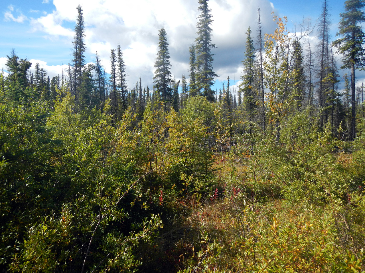
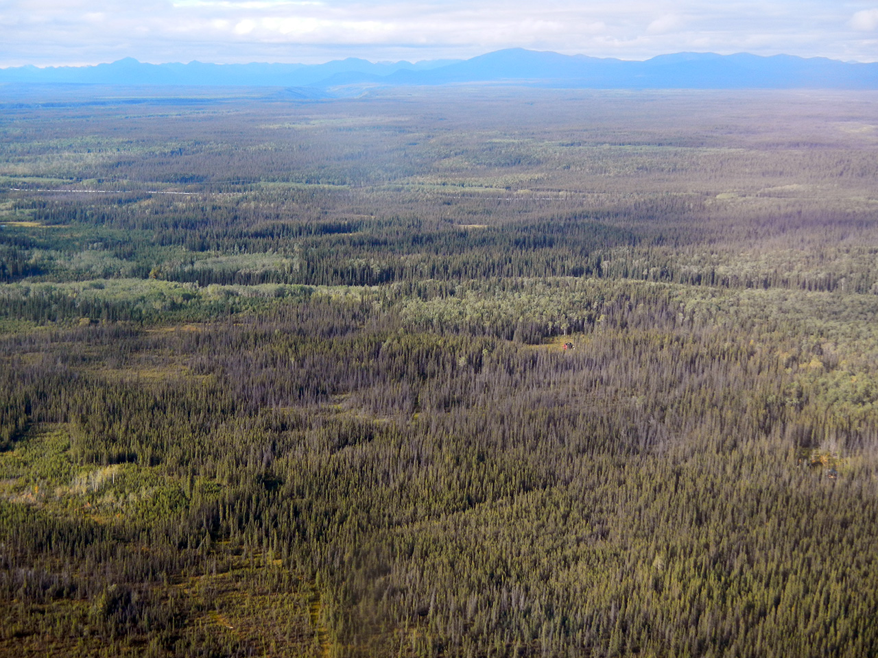
Tazlina Southwest features wooded lots near Copper Center and Glennallen with access to the Richardson Highway.
Location
Tazlina Southwest is located 11 miles south of Glennallen and approximately 4 miles northwest of Copper Center, west of the Richardson Hwy.
Meridian Township Range Section (MTRS): C003N001W34
Access Details
The subdivision is located on the west side of the Richardson Hwy, approximately 0.25 miles north of milepost 104. The Interior roads are undeveloped. Current access is limited to walk-in. ATV or snowmachine access may be possible.
Utilities
There is no municipal water supply or sewer system. Please see plat notes and the Sewer and Water section of this brochure for details. There are no utilities (electric, phone, internet, etc.) currently in this area.
Local Government
This subdivision is not within the boundaries of an organized borough. It is located within the Unorganized Borough and is subject to the State of Alaska platting authority.
Fire
This area is in the Critical Fire Management Option. See the Wildland Fires and Burn Permits section of this brochure for details.
Notes
These parcels may contain wetlands. Purchasers must obtain permits from the U.S. Army Corps of Engineers before developing any wetland areas. Access to the parcels along the Trans-Alaska Pipeline right-of-way is prohibited without permission from Alyeska Pipeline Service Company. The west lot line for parcel 1037 runs adjacent to the Trans-Alaska Pipeline.
Restrictions
Easements affecting these parcels, as depicted on the plat, may include, but are not limited to, utility easements. Information on restrictions, easements, reservations, and setbacks may be depicted on the plat, contained in the plat notes, or recorded separately. Parcel 1035 southern lot line has a 20ft public utility easement. Parcel 1036 has a 20ft public utility easement on the
southern lot line and a 60ft access easement to a pond. All lots with bodies of water are subject to a 50ft access easement along the ordinary high-water mark.
Survey and Appraisal
Tazlina Southwest Subdivision is ASLS 79-121, located in Section 34, Township 3 North, Range 1 West, Copper River Meridian. The survey has been filed as Plat 80-3 in the Chitina Recording District.
Right-of-way Status
The rights-of-way leading to these parcels, other than the access easement near the highway, are undeveloped. Coyote Ave is an undeveloped right-of-way into the subdivision and is accessed from an easement across state land (ADL 228042) and a developed public access easement across a private parcel (Document# 2016-000690-0, Recorded 11/22/16, Chitina Recording District). Wolf Ln, Ermine St, and Bison Cir are undeveloped. The parcels are legally accessed from easements and platted rights-of-way. The Trans-Alaska
Pipeline right-of-way is not legal access.
Homeowner's Association
Any subsequent owner of any parcel within this subdivision automatically becomes a member of the homeowner’s association, if active. The declaration of covenants, conditions, and restrictions for this association was recorded on November 25, 1991, in the Chitina Recording District, in Book 35, page 2, as Document #1991-000957-0.
Parcel Maps
View parcel with
Alaska Mapper Tool
Alaska Mapper User's Guide