
Tok (Tetlin Trail)
Tok (Tetlin Trail)
0 land parcels are currently available for sale.
Location
Tok Tetlin Trail is located approximately 3.5 miles west of the intersection of the Alaska Hwy and the Tok cutoff.
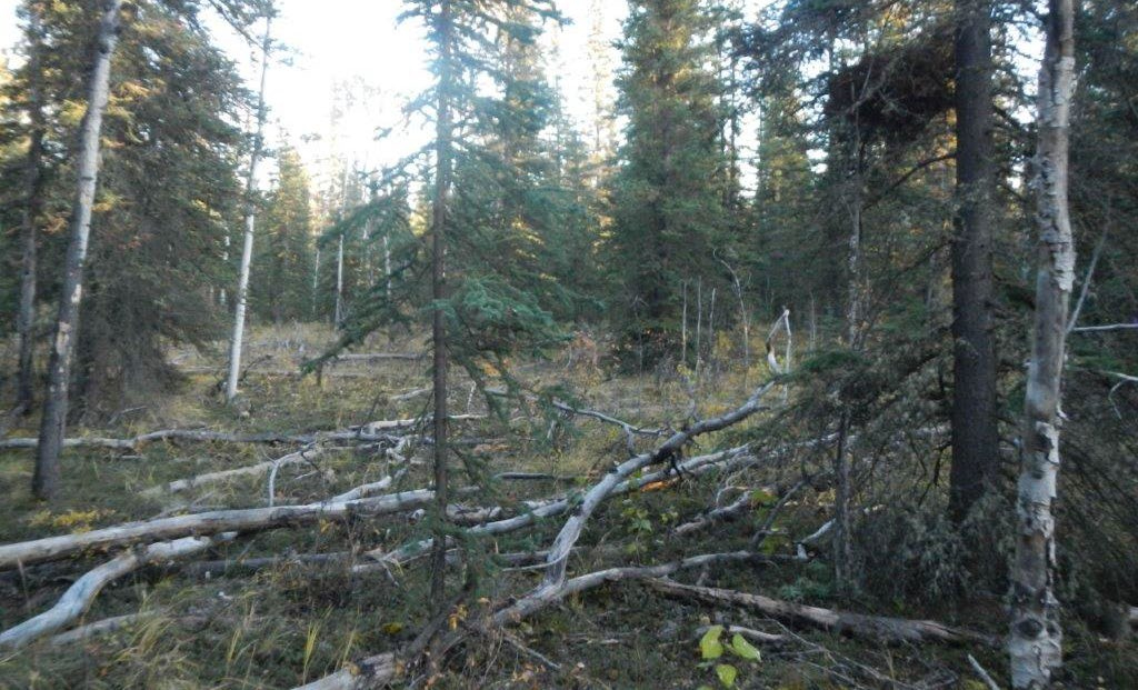
Access Details
Access to the parcel is from the Alaska Hwy, south on Fales Dr, then east along an unnamed pioneer road. The road becomes a trail approximately 150ft before the parcel. The last 150ft are not accessible by a highway vehicle and are limited to ATV or walk in access at this time.
Utilities
There is no municipal water supply or sewer system. Please see plat notes and the Sewer and Water section of this brochure for details. Electricity is available in the area; purchasers will be responsible for extending the lines at their own expense. It is estimated that it would take two utility poles to extend overhead electric lines to the east side of the parcel.
Local Government
This subdivision is not within the boundaries of an organized borough. It is located within the Unorganized Borough and is subject to the State of Alaska platting authority.
Fire
These areas are in a Critical Fire Management Option. See the “Fire and Burning Activities” section of this brochure for more details.
Notes
These parcels may contain wetlands. Purchasers must obtain permits from the U.S. Army Corps of Engineers before developing any wetland areas.
Restrictions
Easements affecting these parcels, as depicted on the plat, may include, but are not limited to, utility easements. Information on restrictions, easements, reservations, and setbacks may be depicted on the plat, contained in the plat notes, or recorded separately. There is a 15ft utility easement along the north lot line.
Survey and Appraisal
Parcel 1152 of Tok Tetlin Trail is survey ASLS 79-134, located in Section 16 Township 18 North, Range 12 East, Copper River Meridian. This survey has been filed as plat 80-25, in the Fairbanks Recording District.
Right-of-way Status
The right-of-way for Parcel 1152 is an unnamed pioneer road, which becomes a trail approximately 150ft before the parcel.