
Mucha Lake II RRCS
Mucha Lake II RRCS
Mucha Lake II RRCS offers a truly remote getaway with great access for relaxing, snow machining, hunting, fishing, and other outdoor pursuits.
0 land parcels are currently available for sale.
Why Buy
Mucha Lake II RRCS offers a truly remote getaway with great access for relaxing, snow machining, hunting, fishing, and other outdoor pursuits.
Location
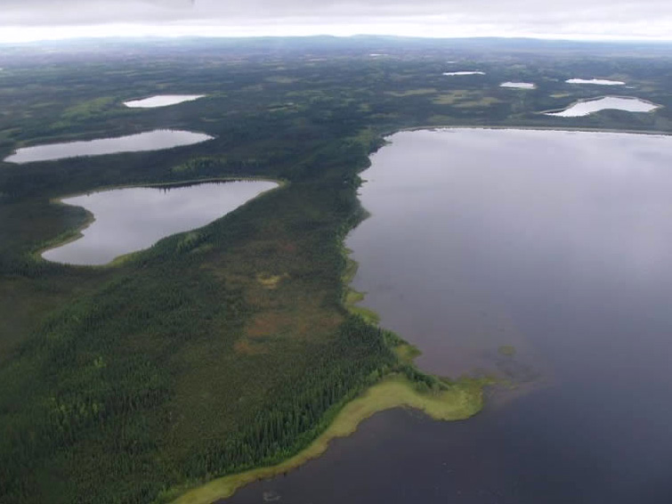
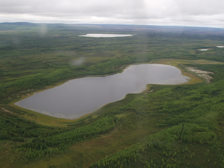
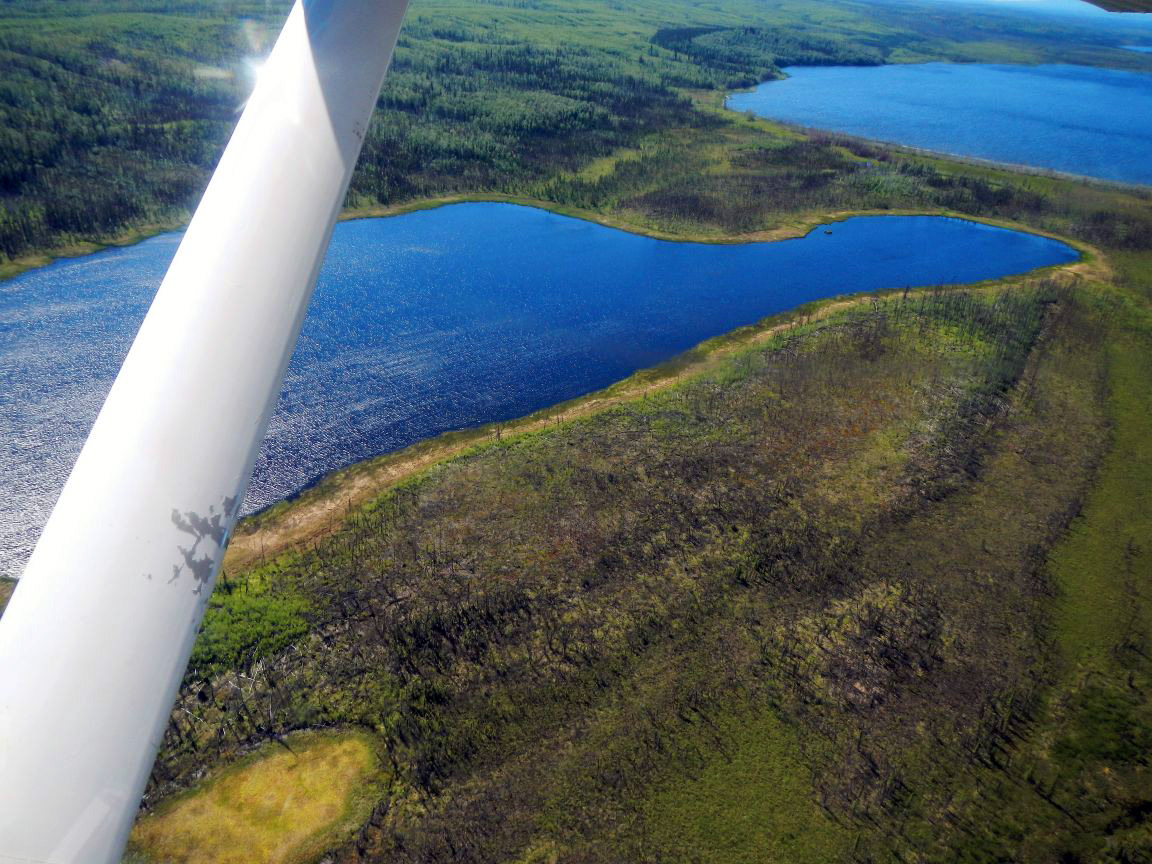
Mucha Lake II RRCS is approximately 100 air miles southwest of Fairbanks, west of the Kantishna River. These parcels are located on Mucha Lake, North Mucha Lake, Chapple Lake, and Beaver Lake.
Access Details
Access to the parcels is primarily by float or ski plane to their respective lakes. Snowmachine access may be possible in the winter.
Utilities
There is no municipal water supply or sewer system. Please see plat notes and the Sewer and Water section of this brochure for details. There are no utilities (electric, phone, internet, etc.) currently in this area.
Local Government
Parcel 1167 is within the Unorganized Borough. It is located within the Unorganized Borough and is subject to the State of Alaska platting authority. Parcels 1168, 1169, & 1170 are within the boundary of the Denali Borough and are subject to applicable platting authority, local ordinances and property assessments. Local ordinances may impose setbacks, easements, or restrictions in addition to those mentioned under Restrictions. Please check with the borough for details. These parcels are not subject to zoning at this time.
Fire
This area is in a Full Fire Management Option. See the Wildland Fires and Burn Permits section of this brochure for details.
Notes
These parcels may contain wetlands. Purchasers must obtain permits from the U.S. Army Corps of Engineers before developing any wetland areas.
Restrictions
Parcels are subject to all platted easements and reservations of record. Easements depicted on the plat include, but are not limited to, section line, public access, and utility easements. Additional information on restrictions, easements, reservations, and setbacks may be depicted on the plat, contained in the plat notes, or recorded separately. There is a 100ft building setback and 50ft public access easement from the ordinary high-water mark of all lakes. All parcels have 25ft public access and utility easements around various lot lines. Parcel 1169 is at the intersection of 4 section lines and has multiple 100ft section line easements within the parcel. See plat for details.
Survey and Appraisal
Mucha Lakes II RRCS is survey ASLS 2003-41 located in Sections 6, 7, 14, 15, 16, 21, 22, & 29, Township 8 South, Range 17 West, Fairbanks Meridian. This survey was recorded as plat 2006-193 in the Fairbanks Recording District.
Right-of-way Status
None. Legal access to all parcels is from area lakes and overland across unreserved State-owned land.