
Cannon RRCS
Cannon RRCS
0 land parcels are currently available for sale.
Location
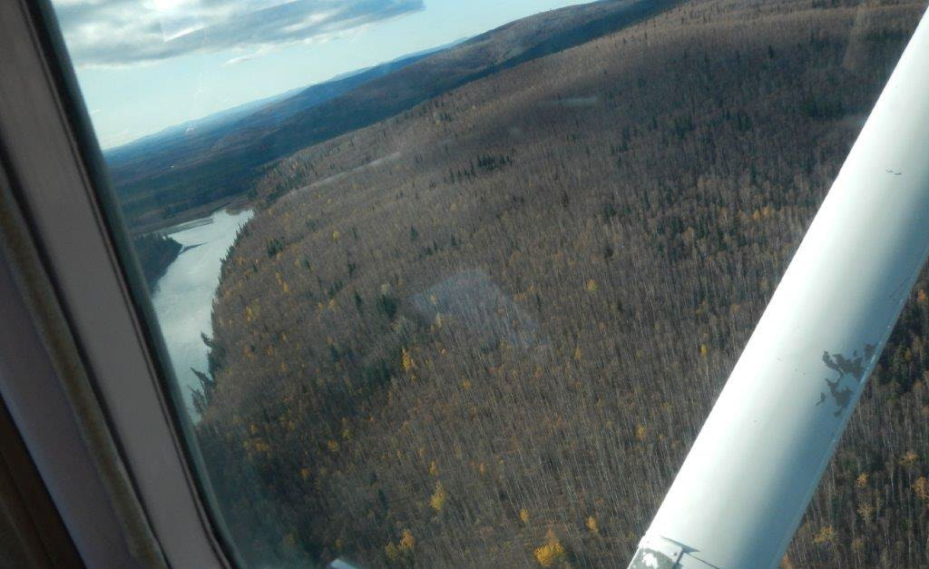
Cannon RRCS is located on the Kantishna River approximately 85 miles southwest of Fairbanks, and 45 miles south of Manley Hot Springs. The parcel is along the west bank of the Kantishna, just downstream of Ketzler Slough.
Access Details
Access to the parcel is by boat or float plane from the Kantishna River.
Utilities
There is no municipal water supply or sewer system. Please see plat notes and the Sewer and Water section of this brochure for details. There are no utilities (electric, phone, internet, etc.) currently in this area.
Local Government
This area is within the boundaries of the Denali Borough and is subject to applicable platting authority, local ordinances, and property assessments. Local ordinances may impose setbacks, easements, or restrictions in addition to those mentioned under restrictions. Please check with the borough for more details. There is currently no zoning for the area.
Fire
This area is in the Full Fire Management Option. See the Wildland Fires and Burn Permits section of this brochure for details.
Notes
This parcel may contain wetlands. Purchasers must obtain permits from the U.S. Army Corps of Engineers before developing any wetland areas.
Restrictions
Easements affecting these parcels, as depicted on the plat, may include, but are not limited to, public access and utility easements. Information on restrictions, easements, reservations, and setbacks may be depicted on the plat, contained in the plat notes, or recorded separately. There is a 25ft public access and utility easement along all lot lines. There is a 50ft section line easement along the northeast corner of the parcel. See plat for details.
Survey and Appraisal
Cannon RRCS is ASLS 2007-6, located in Section 27, Township 6 South, Range 15 West, Fairbanks Meridian. The survey has been filed as Plat 2009-124 in the Fairbanks Recording District.