
Mankomen Lake RRCS
Mankomen Lake RRCS
0 land parcels are currently available for sale.
Location
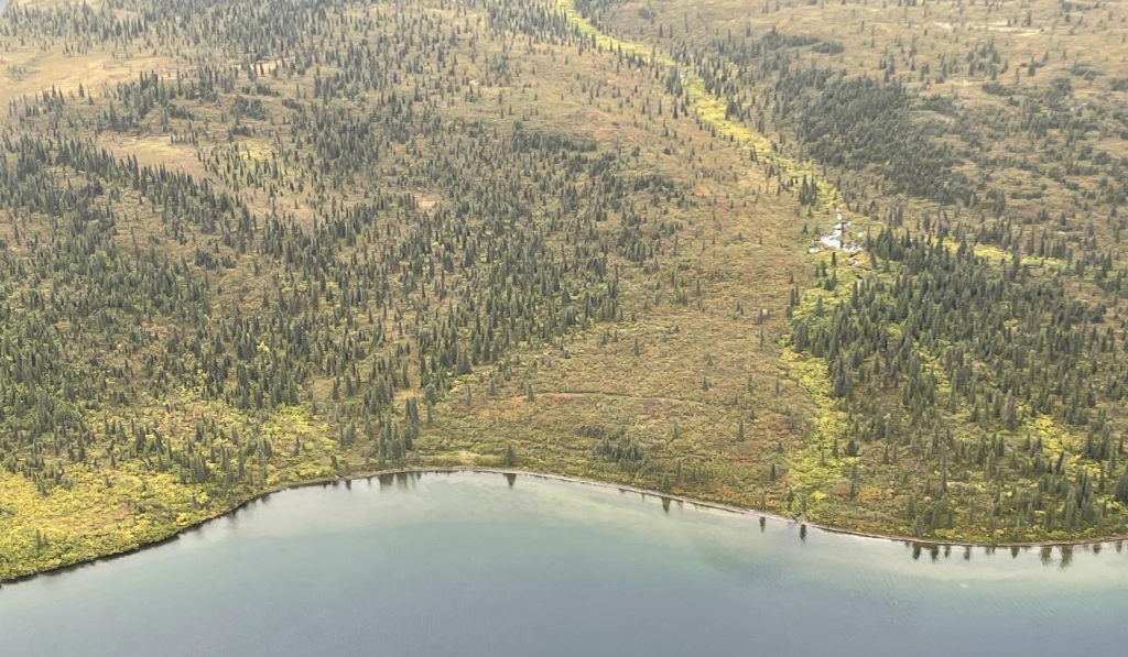
Mankomen Lake RRCS is located approximately 65 miles northeast of Glennallen, and 25 miles northwest of Mentasta Lake.
Access Details
Primary access to the area is by float or ski plane to Mankomen Lake. It may be possible to access the area via snowmachine during the winter. Legal access to the parcel is from the water of Mankomen Lake or overland across unreserved State-owned land.
Utilities
There is no municipal water supply or sewer system. Please see plat notes and the Sewer and Water section of this brochure for details. There are no utilities (electric, phone, internet, etc.) currently in this area.
Local Government
This subdivision is not within the boundaries of an organized borough. It is located within the Unorganized Borough and is subject to the State of Alaska platting authority.
Fire
This area is in the Limited Fire Management Option. See the Wildland Fires and Burn Permits section of this brochure for details.
Notes
Mankomen Lake RRCS is located on Tentatively Approved land, please see the Tentatively Approved Lands section for details. This parcel may contain wetlands. Purchasers must obtain permits from the U.S. Army Corps of Engineers before developing any wetland areas. This property parcel was formerly a short term RRCS lease. There are no known improvements on the property.
Restrictions
Easements affecting these parcels, as depicted on the plat, may include, but are not limited to, utility easements. Information on restrictions, easements, reservations, and setbacks may be depicted on the plat, contained in the plat notes, or recorded separately. There is a 30ft public access and utility easement around all lot lines, a 50ft public access easement along the shoreline of Mankomen Lake, and a 100ft building setback from the ordinary high water mark of the lake.
Survey and Appraisal
Mankomen Lake RRCS is ASLS 2022-09, located in Section 18, Township 14 North, Range 5 East, Copper River Meridian. The survey has been filed as Plat 2024-14 in the Chitina Recording District.