
Tip Levarg
Tip Levarg
0 land parcels are currently available for sale.
Attention
Parcel 1088 (Lot 12 in Block 5) & Parcel 1074 (Lot 15 in Block 4) may not be suitable for onsite wastewater treatment and disposal. Any wastewater treatment or disposal system must meet the regulatory requirements of Alaska Department of Environmental Conservation. See plat for details.
Location
Tip Levarg Subdivision is approximately 14 miles south of Soldotna and 1 mile southwest of the Kasilof River, off Cohoe Loop Rd.
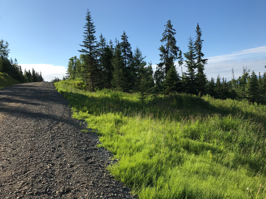
Access Details
Tip Levarg is accessed from the west side of the Sterling Hwy near milepost 111, then
approximately a one mile north on Cohoe Loop Rd. From Cohoe Loop Rd, Tehama Ave provides access into the subdivision. Parcels are accessed directly from interior gravel roads.
Utilities
Overhead electric service runs along Cohoe Loop Rd. Electric service and natural gas do not extend into the subdivision. Prospective purchasers may need to extend lines at their own expense. This area is currently served by Homer Electric Association (HEA) and ENSTAR Natural Gas Company. Alaska Communications provides phone and internet service. There is no municipal water supply or sewer system. Please see the Sewer and Water section of this brochure for details.
Local Government
This area is within the boundaries of the Kenai Peninsula Borough and is subject to applicable platting authority, local ordinances, and property assessments. Local ordinances may impose setbacks, easements, or restrictions in addition to those mentioned under Restrictions. Please check with the borough for details. There is currently no zoning for the subdivision.
Fire
This area is in the Critical Fire Management Option. See the Wildland Fires and Burn Permits section of this brochure for details. This subdivision is within Kenai Peninsula Borough's Central Emergency Service Area.
Notes
These parcels may contain wetlands. Purchasers must obtain permits from the U.S. Army Corps of Engineers before developing any wetland areas. Crooked Creek is approximately 500ft east of the subdivision. Some areas surrounding Crooked Creek have been designated by FEMA as a flood hazard area district. See plat for details.
Restrictions
Easements affecting these parcels, as depicted on the plat, may include, but are not limited to, utility easements. Information on restrictions, easements, reservations, and setbacks may be depicted on the plat, contained in the plat notes, or recorded separately. There is a 20 ft building setback and utility easement along rights-of-way.
Survey and Appraisal
Tip Levarg is ASLS 2021-25, located in Section 36, Township 3 North, Range 12 West, Seward Meridian. The survey has been filed as Plat 2023-10 in the Kenai Recording District.
Right-of-way Status
Direct access from Cohoe Loop Road is not permitted unless approved by DOT & PF. Tehama Ave, Potbelly Stove Rd, Roe Cir, and Quintin Cir are developed gravel roads and provide access to the parcels. Naiad Dr and Barrel Stove St are undeveloped.