
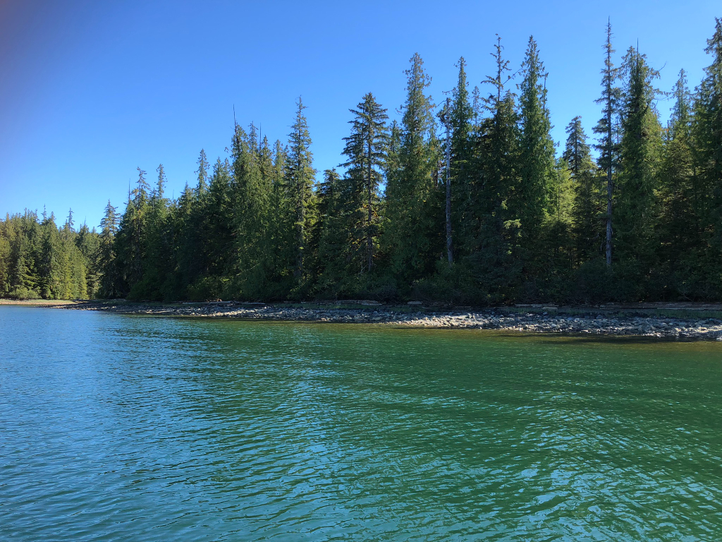
Lil' Coal Bay
Lil' Coal Bay
0 land parcels are currently available for sale.

Attention
Residents, non–residents, and businesses are eligible to bid on Parcels 1003, 1004, & 1005, as
they are commercial parcels; please see the Commercial Parcels section on page 14 of the Auction Brochure for details. Only
Alaska residents are eligible to bid on parcels 1006-1030, as they ARE NOT commercial parcels.
Except Parcel:
Please refer to those parcel detail pages for specific information.
Location
Lil’ Coal Bay is located approximately 8.5 miles east-northeast of the ferry dock in Hollis, and 2.5 miles south of the marina in Kasaan.
Access Details
Access is by boat or floatplane from Kasaan Bay & Little Coal Bay. An existing launch ramp and unmaintained US Forest Service (USFS) road provide access to parcels without water frontage. Baker Point Rd is undeveloped.
Utilities
There is no municipal water supply or sewer system. Please see the Sewer and Water section of this brochure for details. There are no utilities (electricity, phone, internet, etc.) currently in this area.
Local Government
This subdivision is not within the boundaries of an organized borough. It is located within the Unorganized Borough and is subject to the State of Alaska platting authority.
Fire
This area is in the Modified Fire Management Option. See the Wildland Fires and Burn Permits section of this brochure for details.
Notes
Per the USFS, National Forest System (NFS) Road No. 2020000 may be used by purchasers for
personal access to reach homes and utilize property. The USFS has no plans to maintain the road in
the future. Uses of the road beyond personal access, such as snow plowing, road maintenance,
driveway construction, etc., may require prior approval from USFS. Please contact DNR Land Sales
for details.
NFS Road No. 2020000 does not connect to the Prince of Wales Road system.
The only remaining infrastructure from ADL 106000, a former USFS Log Transfer facility, is a launch
ramp and stone retaining wall. The launch ramp provides public access to the subdivision as well as
Tongass National Forest.
These parcels may contain wetlands. Purchasers must obtain permits from the U.S. Army Corps of
Engineers before developing any wetland areas.
Restrictions
Easements affecting these parcels, as depicted on the plat, may include, but are not limited to,
utility easements. Information on restrictions, easements, reservations, and setbacks may be
depicted on the plat, contained in the plat notes, or recorded separately.
All of the waterfront parcels have a 50ft public access easement from the ordinary high water line,
as well as an additional 25ft building setback from the 50ft public access easement line. Lots with
frontage along Baker Point Rd (undeveloped) have a 20ft public utility easement along the property
line. See plat for details.
Survey and Appraisal
Lil’ Coal Bay is ASLS 2021-32, located in Sections 25, 26, & 35, Township 73 South, Range 85 East, Copper River Meridian. The survey has been filed as Plat 2023-9 in the Ketchikan Recording District.
Right-of-way Status
NFS Road No. 2020000 is an unmaintained and overgrown gravel road. Baker Point Rd is undeveloped.