
Dillinger River II RRCS
Dillinger River II RRCS
0 land parcels are currently available for sale.
Location
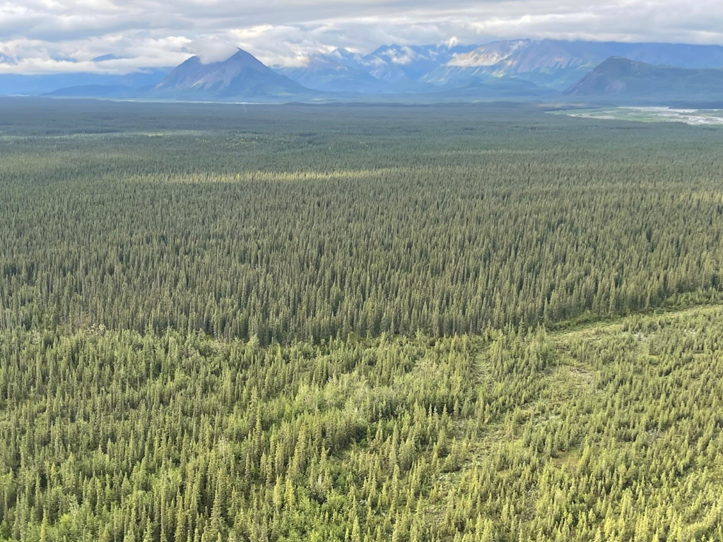
Dillinger River II RRCS is approximately 69 air miles southeast of McGrath on the south bank of the Dillinger River. The parcel is approximately 1.5 miles east of the confluence of the Dillinger River and the South Fork of the Kuskokwim.
Access Details
Primary summer access is via wheeled plane to area gravel bars, then overland to parcel. Winter access is via ski plane. Snow machine access may be possible. There are known trap line trails and a tractor trail north of the Dillinger River. Legal access to the parcel is from the Dillinger and the South Fork of the Kuskokwim rivers and/or overland across unreserved State-owned land.
Utilities
There is no municipal water supply or sewer system. Please see plat notes and the Sewer and Water section of this brochure for details. There are no utilities (electric, phone, internet, etc.) currently in this area.
Local Government
This area is not within the boundaries of an organized borough. It is located within the Unorganized Borough and is subject to the State of Alaska platting authority.
Fire
This area is in the Limited Fire Management Option. See the Wildland Fires and Burn Permits section of this brochure for details.
Notes
This parcel may contain wetlands. Purchasers must obtain permits from the U.S. Army Corps of Engineers before developing any wetland areas.
Restrictions
Easements affecting these parcels, as depicted on the plat, may include, but are not limited to, public access and utility easements. Information on restrictions, easements, reservations, and setbacks may be depicted on the plat, contained in the plat notes, or recorded separately. The parcel has a 30ft public access and utility easement along all interior lot lines. There is a 50ft public access easement along the ordinary high water line. See plat for detail.
Survey and Appraisal
Dillinger River II RRCS is survey ASLS 2016-8, located in Section 23, Township 29 North, Range 23 West, Seward Meridian. The survey has been recorded as plat 2018-2 in the Mt. McKinley Recording District.