
Knik River Public Use Area
Trails
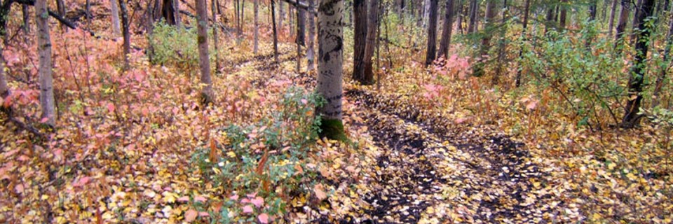
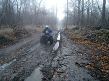
The Knik River Public Use Area (PUA) has an extensive system of trails, most of which are multiple-use. Nearly every trail in the PUA was created over the course of time as a result of unplanned social use. Some trails were created to access hunting and trapping areas, other trails were created for the purpose of recreation, and still others were developed for the purpose of resource extraction. The most well known trail leaves the trailhead and travels 25 miles up towards the Knik Glacier. The trail is more of a route than a designated pathway.
Maud Road Extension
No available information at this time.
Sexton Trail
The Sexton trail is one of two trails with a reciprocal easement that is also held by the Mat-Su Borough. Arguably one of the most used trails to access the Knik River bed, it has been reserved to a maximum width of 100 feet and begins from where it attaches to Sullivan Avenue and extends to the Knik River bed.
Legal Easement Document Google Earth File Google Maps start pointTrail of Envy
The Trail of Envy is one of two trails with a reciprocal easement that is also held by the Mat-Su Borough. It has been reserved to a maximum width of 50 feet and has two entrances, one from where it begins at the corner of Sullivan and Cauldil, and another from the south side of the Mat-Su Boroughs parking lot.
Legal Easement Document Google Earth File Google Maps start pointRippy Trail
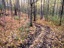
Rippy Trail was formally established in the Knik River Public Use Area Management Plan. Built to sustainable trail standards and finished in 2014, it travels along the mountain side and crosses Jim Creek on a 55 foot aluminum bridge where is then loops around back on itself. The trail is approximately 3.5 miles long, and 6.2 miles round trip.
Legal Easement Document Google Earth File Google Maps start pointChain of Lakes
The Chain of Lakes Trail consists of approximately 4 miles of footpath starting off at the Rippy Trail and ending just north of the Finger lakes. The area around the trail also serves as a popular camping, canoeing, and picnicking area. In the fall, it is used by hunters for bears, moose, and sheep on the mountain slopes to the north.
Legal Easement Document Google Earth File Google Maps start pointJim Lake Overlook Trails
The Jim Lake Overlook Trails consists of approximately 300 feet of footpath connective between the Maud Road Extension and an overlook on an adjoining hill. The area around the trail also serves as a popular camping/picnicking area, and in the fall is used by hunters for spotting bears, moose, and sheep on the mountain slopes to the north. The current trail has minimized the steep decent/accent by the use of switchbacks and climbing turns.
Legal Easement Document Google Earth File Google Maps start pointKnik Glacier Trail
No available information at this time.
17B Trails
No available information at this time.