
Knik River Public Use Area
Planning
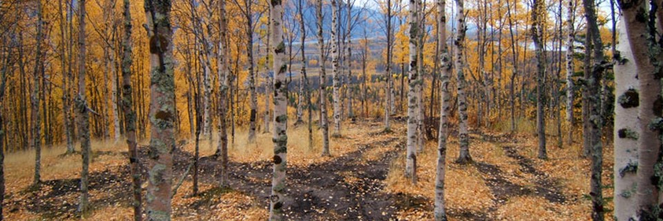
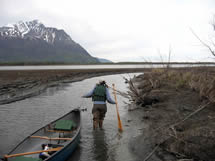
One of the most popular attractions of the Knik River Public Use Area (PUA) is Jim Creek, a well-known site in the Matanuska-Susitna Valley, and a popular destination for folks who enjoy being outdoors, camping, and riding Off-Highway Vehicles (OHVs). During late summer, Jim Creek is recognized for its exceptional fishing opportunities. The area is also recognized for its checkered past where chronic unlawful problems were the norm. Underage drinking parties, car burnings, indiscriminate target shooting, wildfires, garbage dumping, and abuse of natural resources gave the area a bad name, and salty reputation. In 2004 local residents, responsible outdoor enthusiasts, special interest groups, and local legislators joined forces to find a solution to the trouble happening on public lands in the area, and subsequently the Knik River Public Use Area was born.
The PUA was signed into law on June 30, 2006 by Governor Frank Murkowski, and the legislation gave management authority to the Alaska Department of Natural Resources, Division of Mining, Land, and Water. The legislation was explicit in that the PUA can not be managed as a unit of the state park system. A major component of the legislation required the Alaska Department of Natural Resources (DNR) to develop a management plan for the area. Beginning in September of 2006 a management planning process commenced, and in September of 2008 the Knik River Public Use Area Management Plan was adopted by the commissioner of DNR. Public meetings were held on multiple occasions throughout Palmer, Wasilla, and Anchorage to identify and address the comments and concerns of area users, local residents, and special interest groups.
The Knik River Public Use Area Management Plan describes how the Alaska Department of Natural Resources (DNR) will manage state owned lands within the PUA boundaries. The Plan provides specific guidance for the management of different uses in the PUA, particularly multiple-use recreational activities. Public access within the PUA is an important issue, and the Plan provides guidance on the management of present and future trails. The plan also makes recommendations for development of facilities such as boat launches, rifle ranges, parking areas, and campsites.
 The planning area is over 260,000 acres in size (approx. 400 square miles).
Within the planning area, approximately 60,000 acres of public land are owned and managed by the federal Bureau of Land Management (BLM).
These BLM lands include Wolf Point and the Friday Creek drainage on the north side of the Knik River, and the Hunter Creek drainage on the south side of the river.
The BLM is slated to convey these lands to Eklutna Native Corporation in the future.
There are eight (8) private parcels of land located within the planning area, including one native allotment in the vicinity of Swan Lake.
The other private parcels are found in the Friday Creek area, and up near the Knik Glacier by Metal Creek.
The planning area is over 260,000 acres in size (approx. 400 square miles).
Within the planning area, approximately 60,000 acres of public land are owned and managed by the federal Bureau of Land Management (BLM).
These BLM lands include Wolf Point and the Friday Creek drainage on the north side of the Knik River, and the Hunter Creek drainage on the south side of the river.
The BLM is slated to convey these lands to Eklutna Native Corporation in the future.
There are eight (8) private parcels of land located within the planning area, including one native allotment in the vicinity of Swan Lake.
The other private parcels are found in the Friday Creek area, and up near the Knik Glacier by Metal Creek.
Management recommendations and policies developed through the plan will apply to state owned lands within the boundary of the PUA. The plan does not apply to federal, Native Corporation, or private lands.
Final KRPUA Management Plan