
Tangle Lakes Archaeological District
Management
The Tangle Lakes Archaeological District Special Use Area (TLAD SUA) is actively managed by the Department of Natural Resources (DNR), Division of Mining, Land & Water (DMLW), Southcentral Regional Office (SCRO) in conjunction with the DNR, Division of Parks & Outdoor Recreation(DOPR), Office of History & Archaeology(OHA). The SCRO is tasked with managing general domain state owned land throughout southcentral Alaska and undertakes a variety of management and stewardship obligations pertaining to public process decision making, issuance of land use authorizations (permits, easements, leases), and compliance duties. Some activities require land use authorizations while other activities are generally allowed.
Special Use Lands is a designation placed on certain lands identified as having "Special resource values warranting additional protections or other special requirements" (11 AAC 96.014). The TLAD SUA this designation was placed protect the archaeological significance of the area thus generally allowed uses are restricted. The following are the additional protections set by regulation within the TLAD SUA (11 AAC 96.014(b)(24):
(A) May 18 through October 18, a permit is required for the use of motorized vehicles off designated trails as depicted on the Tangle Lakes Archaeological District Special Use Area map; and
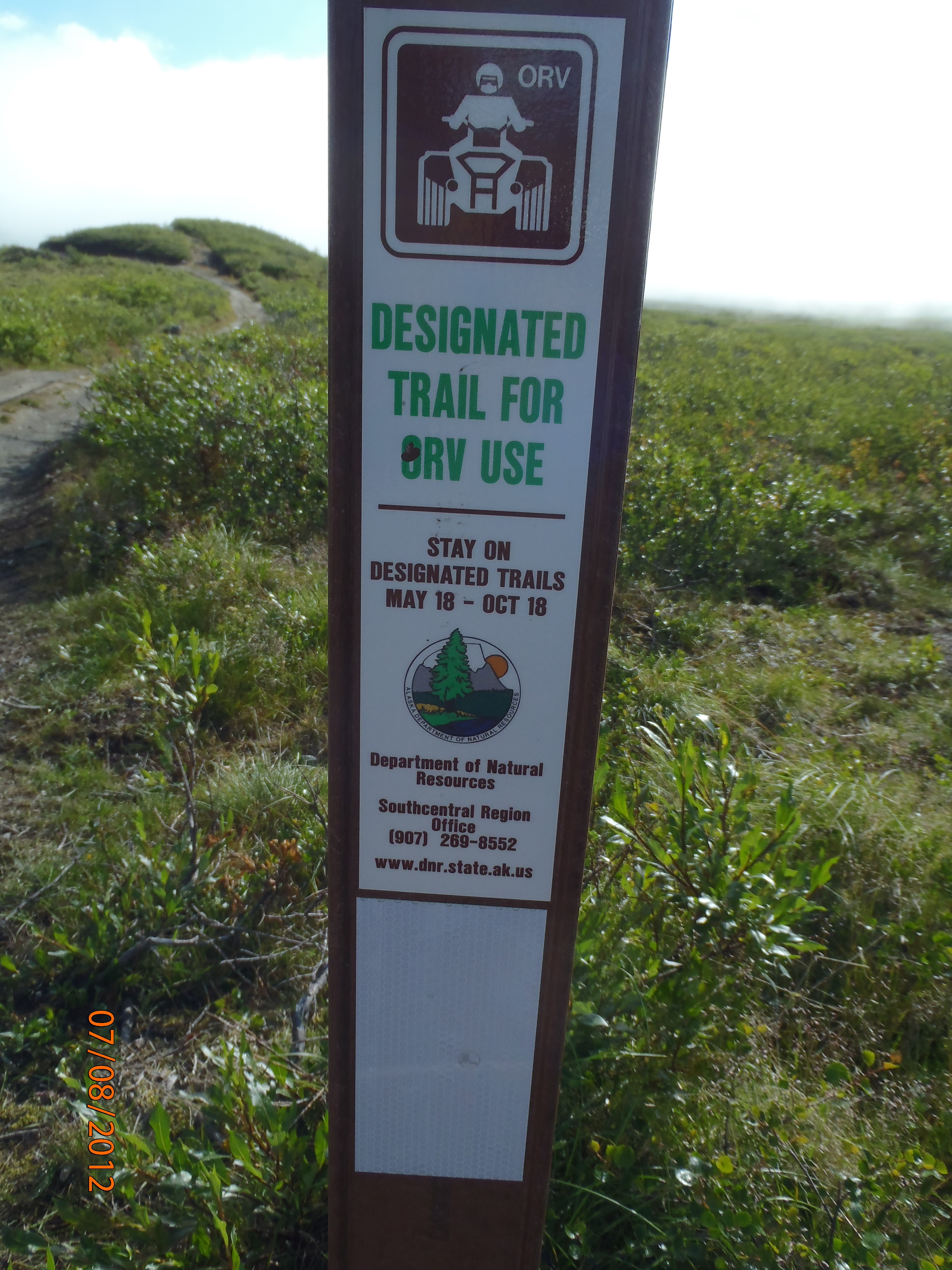
(B) October 19 through May 17, a permit is required for the use of motorized vehicles off designated trails as depicted on the Tangle Lakes Archaeological District Special Use Area map; however, a permit is not required for the use of motorized vehicles as provided in 11 AAC 96.020(a) (1)(D) and (E) if snow cover or ground frost is sufficient to prevent damage to archaeological values; for purposes of this subparagraph,
(i) an average snow depth of one foot, and a minimum snow depth of six inches, will be considered sufficient snow cover; and
(ii) a minimum frost depth of six inches will be considered sufficient ground frost.
There is one land manager and one archaeologist dedicated to handling management actions within the TLAD SUA. The land manager serves as the contact person for issues that arise within the TLAD SUA, and regularly spends time in the field meeting with recreational users, maintaining trails, signs and informational kiosks, inspecting land use authorizations and trespass. The archaeologist collaborates with the land manager on matters relating to the archaeological significance of the area by providing surveys and monitoring of the area. The land manager and archaeologist also work collaboratively with Local, State and Federal agencies to achieve management objectives.