Tangle Lakes Archaeological District
Welcome
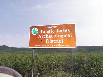
Welcome to the Tangle Lakes Archaeological District Special Use Area (TLAD SUA) website. The purpose of this site is to educate about the recreational opportunities, unique land rules, and the archaeological significance of the area.

The Tangle Lakes Archaeological District (TLAD) is 226,660 acres in size and encompasses land to the north and the south of the Denali Highway between MP 15 and MP 32. The TLAD is unique because it is jointly managed by two distinct agencies. The land to the north of the Denali Highway is managed by the State of Alaska, Department of Natural Resources (DNR), Division of Mining, Land & Water (DMLW), Southcentral Regional Office (SCRO) and the land to the south of the Denali Highway is managed by the Bureau of Land Management (BLM).
2003 the BLM conveyed to the State of Alaska 41,339 acres of land within the TLAD boundary. Due to the demonstrated cultural resource value of the area the DNR, DMLW, SCRO created the TLAD SUA consisting of 63,620 acres. The Administrative Record is serialized as ADL 228296 and was adopted on January 22, 2003. Currently there are public easements for three motorized trails and one non-motorized trail.

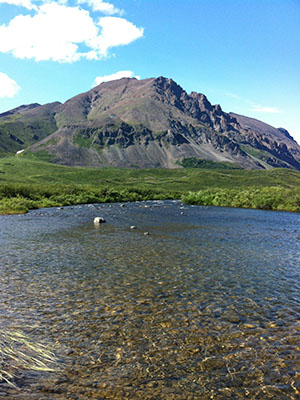
By designating the TLAD SUA DMLW manages this land more intensively than other State lands by regulating activities that are otherwise generally allowed to occur on State land. Thus DNR's immediate task is to manage impacts to archeological and surface resources in order to prevent or minimize damage and to ensure future management opportunities. Additionally, the land is to be managed to maintain a range of recreational, scenic, educational, archeological, and unique natural resource opportunities. The area provides for a full-spectrum of outdoor recreational opportunities and is open to motorized and non-motorized recreational pursuits. Activities common to the area include: riding of off-highway vehicles (OHV's), hunting, fishing, trapping, boating, horseback riding, biking, hiking, camping, and wildlife viewing.
